Inner City Commercial Area (Rating)
Commercial D properties located within the Inner City where the land is:
- used for commercial/ industrial purposes or has the potential predominant use by virtue of its improvements or activities conducted upon the land of commercial/ industrial purposes; and
- contained within the shaded area on the map shown as Commercial Inner City.
View online map Download map ( PDF, 1.15 MB )
Ordinarily, Commercial D properties in the Inner City Commercial Area would fall within the following land use codes:
07 Guest house/ private hotel
08 Building units
09 Group titles
10 Combined multi-dwelling and commercial
11 Shop – single
12 Shopping group (more than 6 shops excluding those in Commercial B & G categories)
13 Shopping group (2- 6 shops excluding those in Commercial B & G categories)
14 Shops - main retail (excluding those in Commercial B & G categories)
15 Shops secondary retail (excluding those in Commercial B & G categories)
16 Drive-in shopping centre (excluding those in Commercial B & G categories)
17 Restaurant
18 Special tourist attraction
19 Walkway
20 Marina
22 Car park
23 Retail warehouse
24 Sales area outdoor
25 Offices
26 Funeral parlours
27 Hospitals, convalescent homes (medical care) (private)
28 Warehouses and bulk stores
29 Transport terminal
30 Service station
31 Oil depot and refinery
32 Wharves
33 Builders yard/ contractors yard
34 Cold stores – iceworks
35 General industry
36 Light industry
37 Noxious/ offensive industry
38 Advertising – hoarding
39 Habour industries
40 Extractive
41 Childcare
42 Hotel/ tavern
43 Motel
44 Nurseries (plants)
45 Theatres and cinemas
46 Drive-in theatre
47 Licensed clubs
48 Sports club/ facilities
49 Caravan parks
50 Other clubs/ non-business
51 Religious
52 Cemeteries (including crematoria)
55 Library
56 Showgrounds/ racecourses/ airfields
57 Parks and gardens
58 Educational including kindergartens
91 Transformers
92 Defence force establishments
95 Reservoir, dam, bores
96 Public hospital
97 Welfare homes/ institution
99 Community protection centre
The following land zones within the CairnsPlan 2016 are also specifically included in this category:
Principal, major, district, local, neighbourhood and specialised centre
b) Mixed-use precinct 1 & 2
c) Low/ medium/ high impact industry
d) Waterfront and marine industry
e) Strategic port land
Ordinarily properties with the following land use codes would fall within this category:
01 Vacant urban land
04 Large vacant urban land
06 Outbuildings
09 Group titles
72 Refer to section 50 of the Land Valuation Act 2010.
Last Updated: 29 June 2023
Latest News > All News
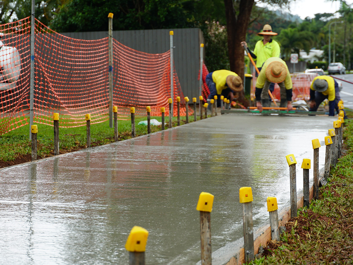
Getting active around Cairns
Active travel includes cycling and walking, and any transport that relies on human-power. Pedestrian walking paths and community footpaths provide...
15 October 2026
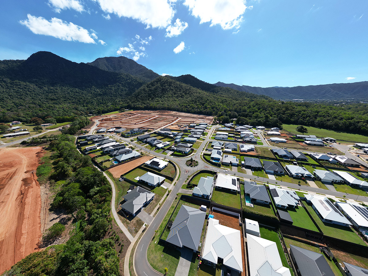
Regionally responsive growth at Mount Peter
As Cairns works to address growing housing demand, Cairns Regional Council has endorsed a submission on Economic Development Queensland's (EDQ)...
15 October 2026
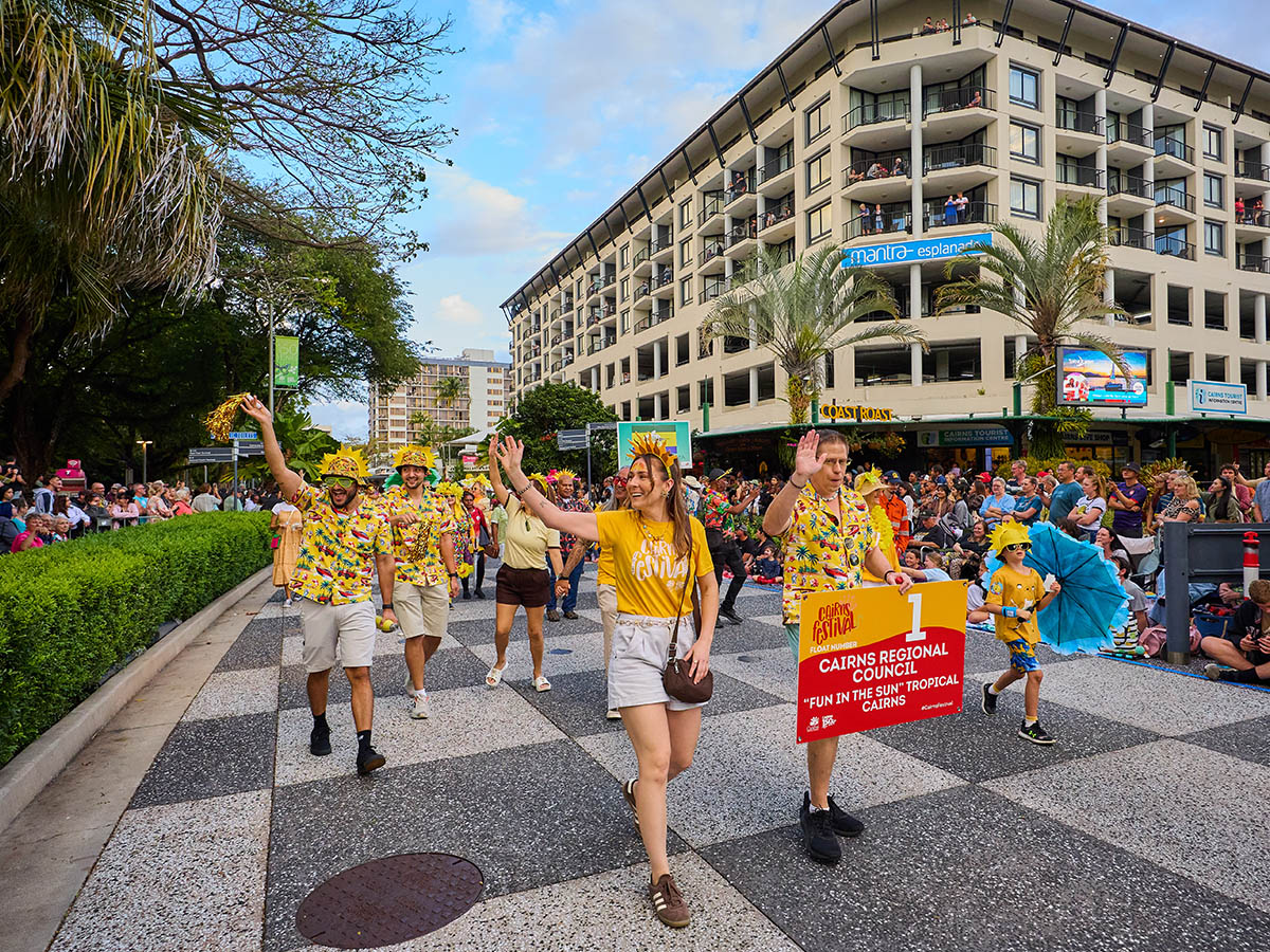
Annual Report shows strong delivery for Cairns
Major infrastructure projects, community upgrades, support for local events and long-term planning for growth are among the achievements highlighted in...
14 October 2026