TreePlotter database
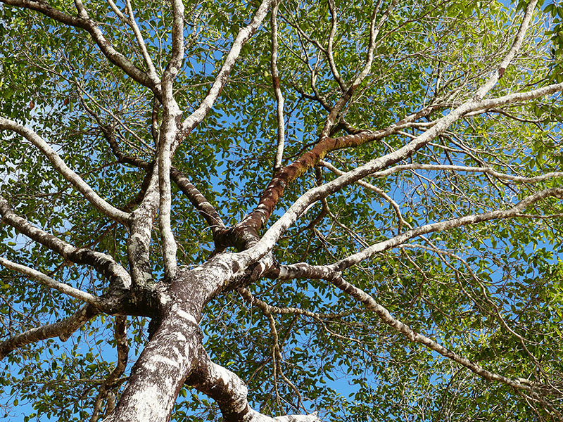
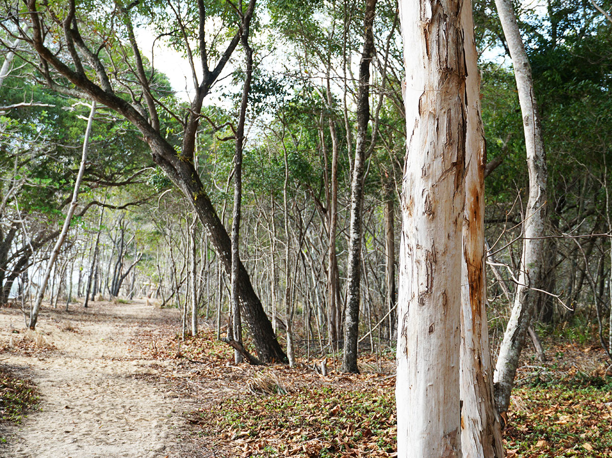
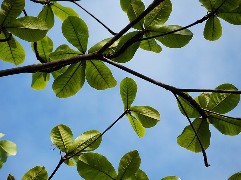
There are an estimated 500,000+ trees in Council parks, foreshores and lining our streets, and Council has set out to map these trees, and you can get involved.
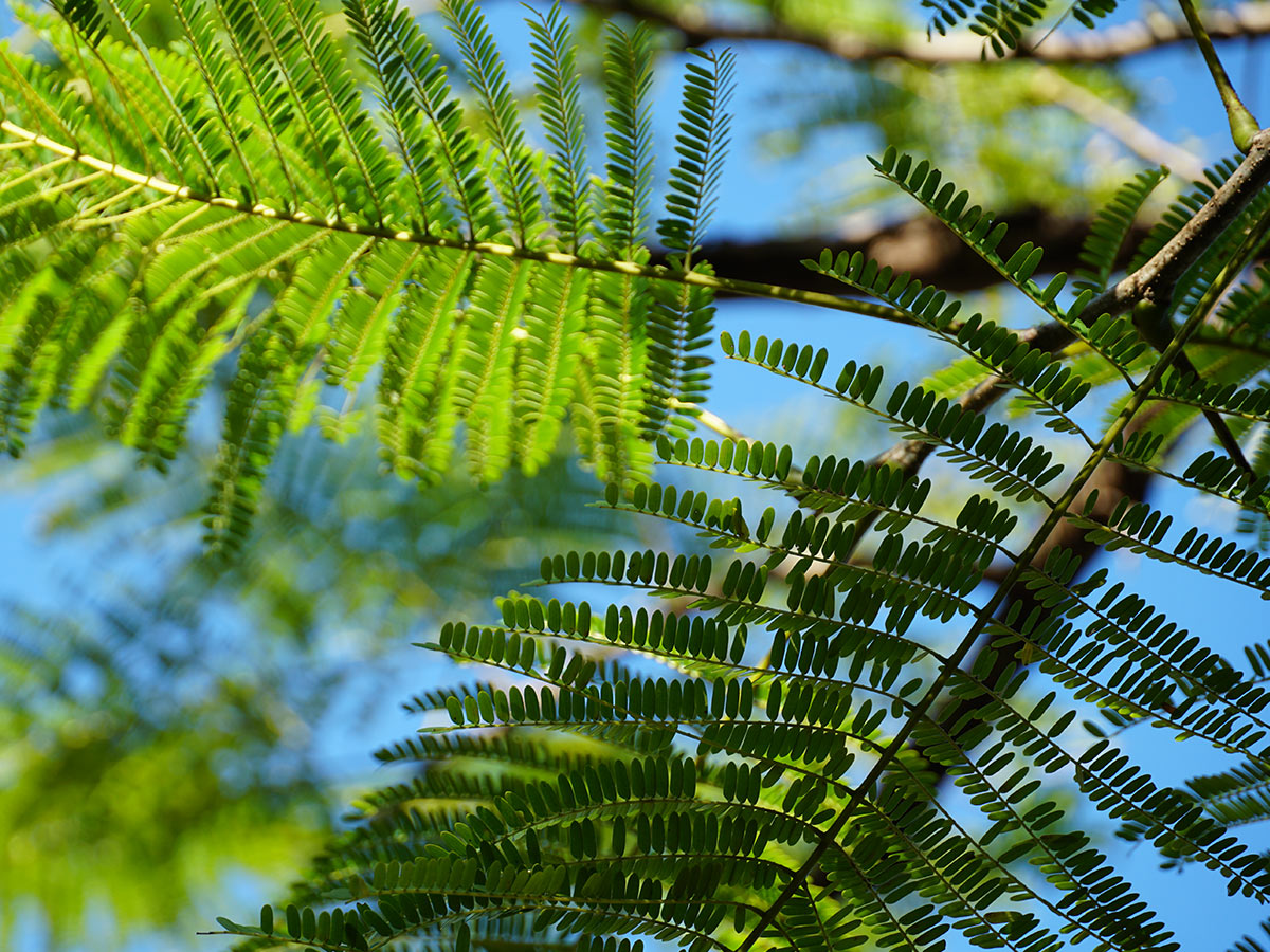
TreePlotter is a database used by Council to map and monitor our street and park trees. The database can be used to learn more about the specific tree or broadly look across our region. You can find out about a tree, including species name, measurements and eco-benefits to our region. All trees added to the database are reviewed by Council’s arborists before making it official.
We also use TreePlotter to assist in managing our fungi and fungal diseases. The fungi layer is intended for recording fungi found near or on trees but not exclusively and is not intended to be an identification key.
Disclaimer: Data in TreePlotter is continually being updated and improved. Users relying on this information do so at their own risk. This is a working database, and Cairns Regional Council assumes no liability for errors or omissions.


About TreePlotter
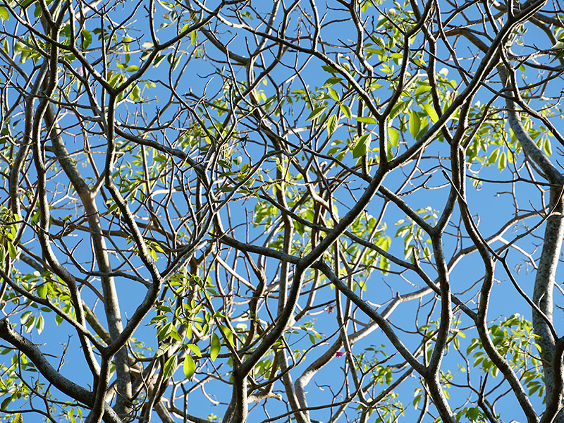
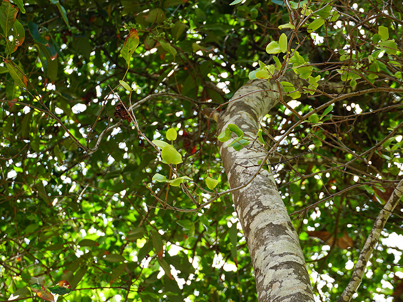
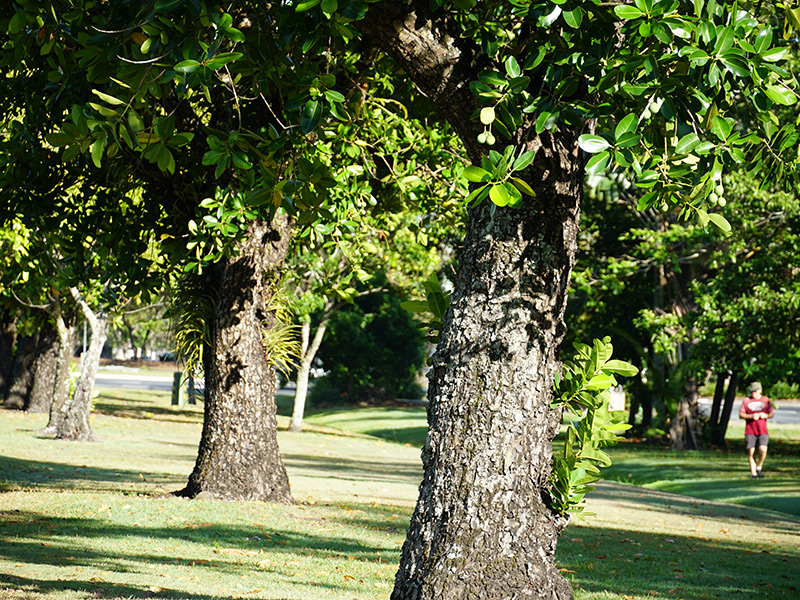
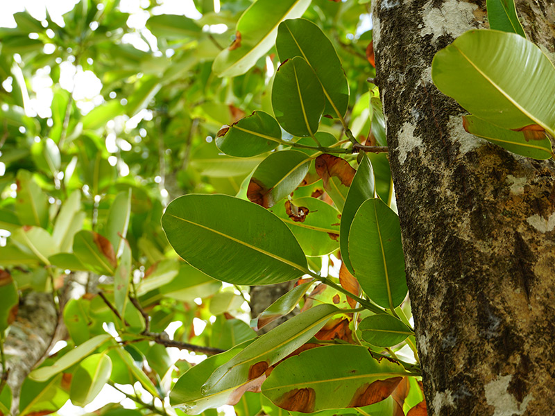
TreePlotter is a database used by Council to map and monitor the street trees and park trees in our region. You can use the database to find a tree, learn its species name, find out what animals and birds call the tree home and other details.
We have opened TreePlotter up to our citizen scientists so everyone can contribute. Anyone can add a favourite tree or new planting to the database.
You will need to register to add trees to the database.
To register, you must create a username and type in your email address. No password is needed, but you will need to make a note of your username.
Residents and visitors can also use the TreePlotter database to look up trees. You can find information about the tree, including species name, measurements and the eco-benefits of our region's trees. If the tree you are looking for is not there, please add it yourself. Our team of arborists will check and confirm community additions to the database before making the marking official.
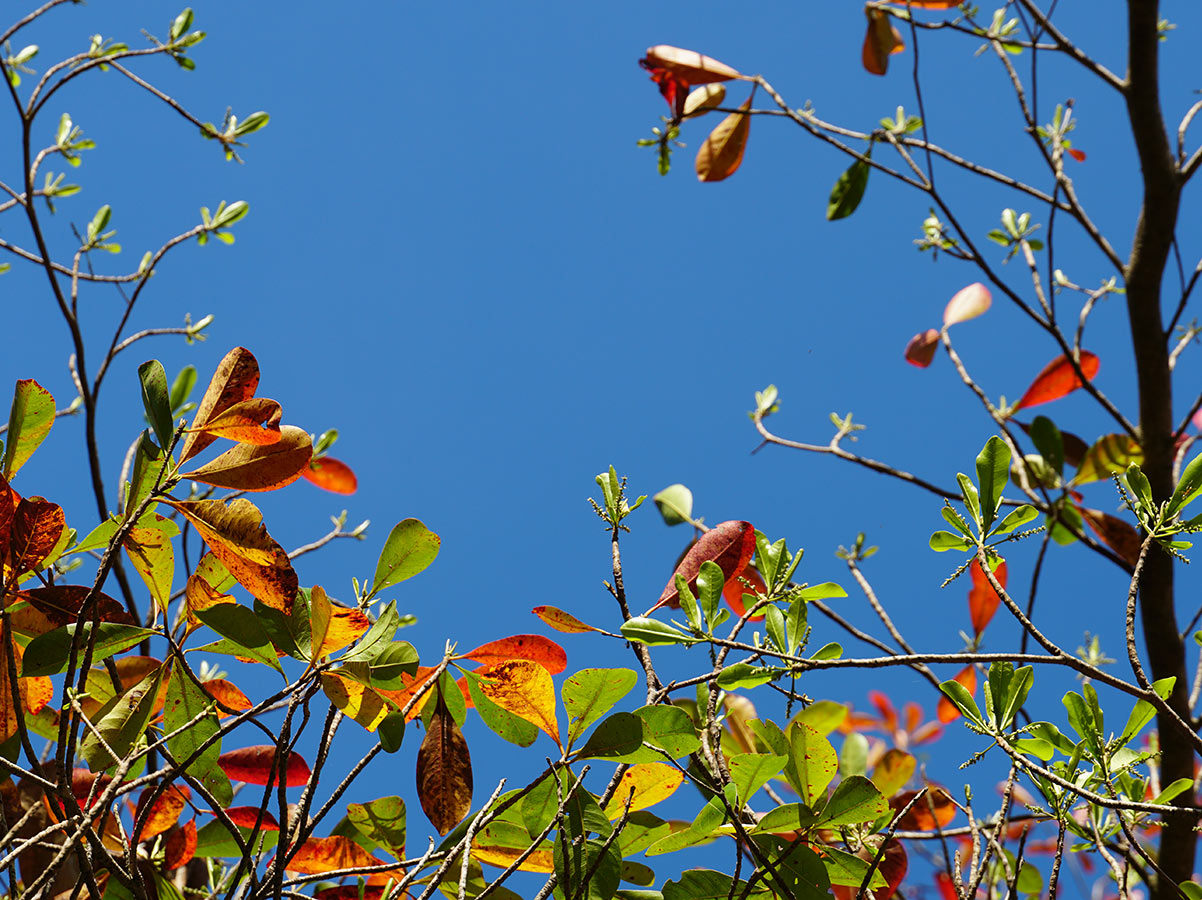
You can also find out about fungi with TreePlotter
Fungi and fungal disease can be a big problem for our region's trees.
That is why we have included a directory and layer for plotting fungi in the TreePlotter database.
This information is accessible in the Legend (Select “Layer”, then “Fungi”).
The Fungi layer is intended for the recording of fungi found on or near trees but not exclusively so it is not an identification key.
It is a tool by which fungi and its features can be recorded in its location, so they can be identified by mycological experts.

Disclaimer about the TreePlotter database
Data in TreePlotter is continually being updated and improved. We welcome suggestions. Registered citizen scientists can propose corrections to existing data. All updates and additions will be verified by relevant specialist. Cairns Regional Council assumes no liability for errors or omissions. Users relying on this information do so at their own risk.
Found a mistake in the database? Report it here.
Last Updated: 8 March 2023
Latest News > All News

Council analyses Queensland State Budget
Long-term Council priorities were among projects included in over $1.1 billion of funding announced for Cairns in the recent Queensland...
16 July 2026

Climate Strategy and Energy Policy updated
Cairns Regional Council has completed a mid-term update of its Climate Change Strategy 2030, reflecting significant progress achieved since the...
15 July 2026

Reimagining 26 hectares at the heart of Cairns
Community consultation is now open on the Major Events Precinct Masterplan, giving residents the opportunity to help shape the future...
15 July 2026