Erosion Hazard Area Maps
The updated Erosion Hazard Area mapping indicatively shows the landward extent of the coast that is potentially vulnerable to coastal erosion (short term and/or longer term coastal processes) and assumes no adaptation action is undertaken. This mapping is for the purpose of obtaining feedback and is updated from the current State Erosion Prone Area at the year 2100. In some cases, this mapping aligns with or is less than the area identified on the current State mapping and does not encroach as far landward.
The areas indicated on the map are indicative only and do not represent a shoreline position or where land may be lost to coastal processes. The mapping incorporates erosion controls such as bedrock and engineered seawalls. The mapping does not consider any other features that may limit the extent of erosion such as roads or buildings.
Last Updated: 11 July 2024
Latest News > All News
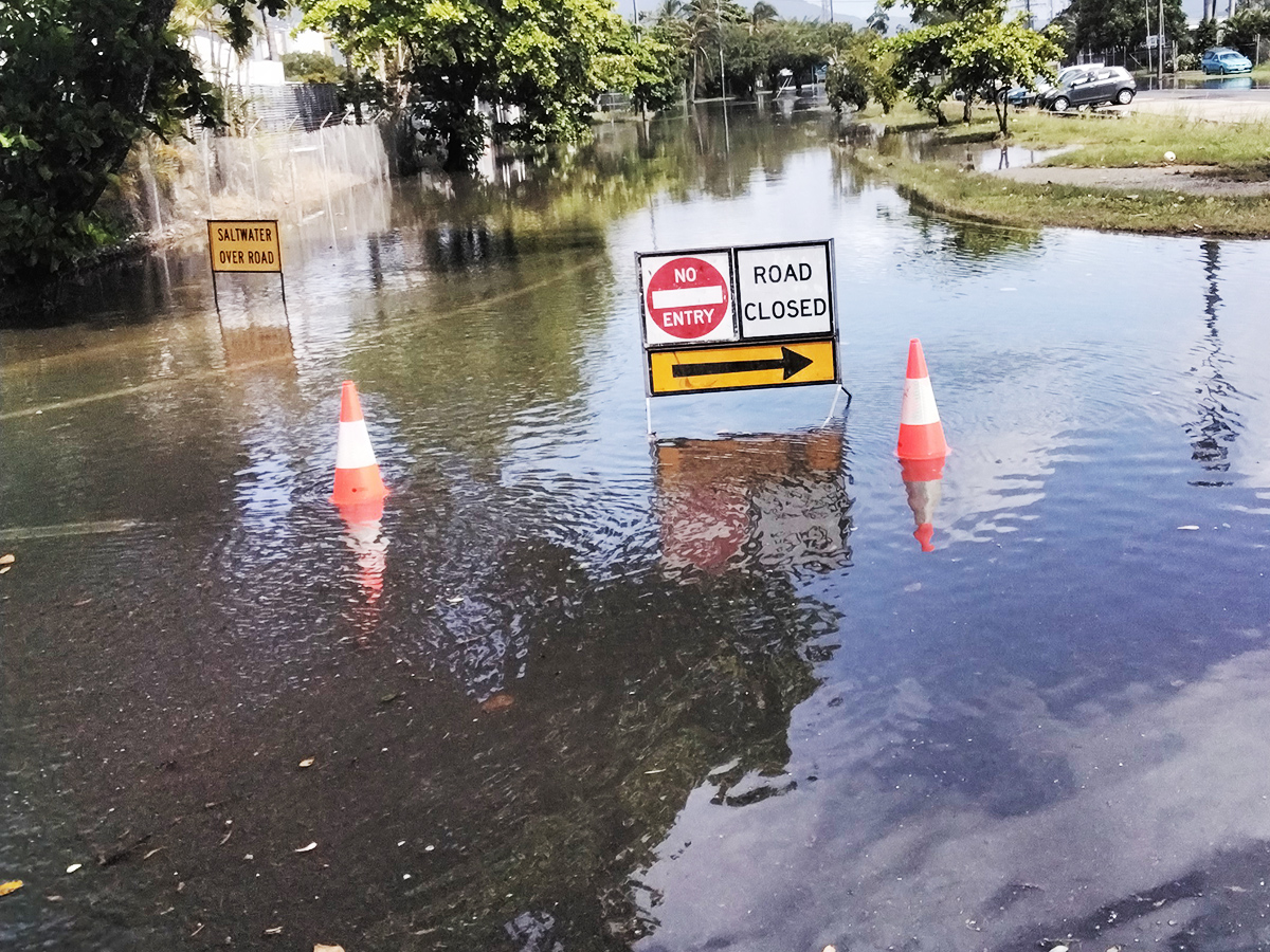
King tides expected in Cairns this week
King tides are expected to affect Cairns this week, starting from Tuesday 28 July to Thursday 30 July....
28 July 2026

Air Force Cadets in march of honour
A Freedom of Entry march will take place on the Cairns Esplanade on Saturday 1 August, with the 104 Squadron...
27 July 2026
Beloved Lagoon's maintenance program
If you ask someone to think about Cairns, they likely think of the iconic Esplanade Lagoon....
27 July 2026