CairnsPlan 2016 Version 1.3
This version of the CairnsPlan 2016 commenced on 15 April 2019 and was superseded by Version 2.0 which commenced on 9 September 2019.
Document excluding Schedule 2 Mapping
The document below presents the CairnsPlan 2016 v1.3 Parts 1 to 10, Schedules 1, 3, 4 and 5, and appendices. Schedule 2 Mapping is a large file and is available separately for download.
NOTE
The below file is very large. If you wish to print only a selection of pages, do not select "print all". Be sure to set your required print range in your browser or Adobe window.
The document is 50.1 MB, it may take some time to load.
Schedule 2 Mapping
The large file below presents strategic framework, zone, local plan and overlay maps applicable to the planning scheme area under the CairnsPlan 2016 v1.3.
Fact sheets
The fact sheets below assist in understanding and application of the CairnsPlan 2016. The contents are an outline only. For full details of the applicable provisions, please refer to the CairnsPlan 2016.
The document is 2.7 MB, it may take some time to load.
Last Updated: 5 October 2021
Latest News > All News

2027 Australia Day Awards nominations open
Every year, Cairns Regional Council recognises how important it is to acknowledge the people around you who are making a...
22 October 2026
Young innovators lead the way on sustainability
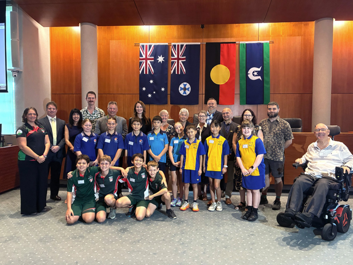
Cairns' next generation of environmental leaders have presented innovative sustainability projects directly to Councillors, showcasing practical solutions to challenges ranging...
20 October 2026
Getting active around Cairns
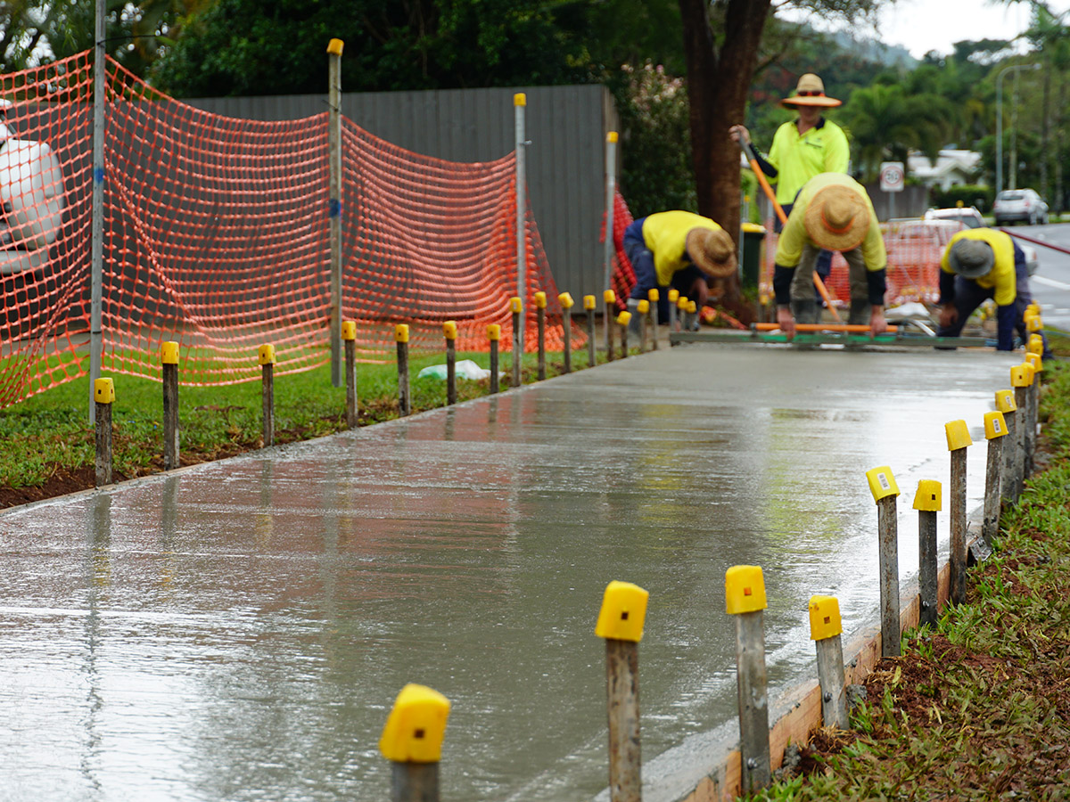
Active travel includes cycling and walking, and any transport that relies on human-power. Pedestrian walking paths and community footpaths provide...
15 October 2026