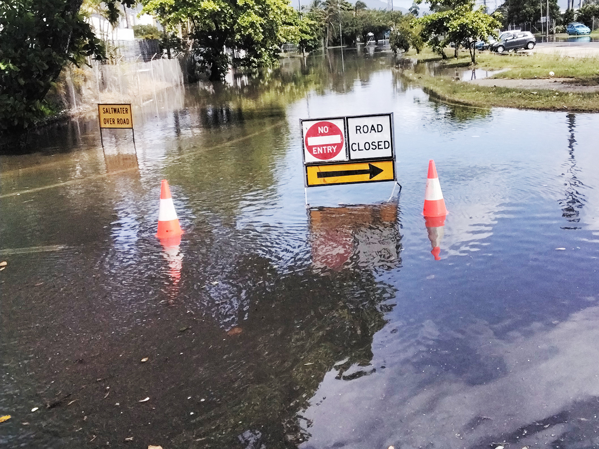
Flood cameras
Council uses flood camera footage to provide an accurate picture of the flood status at various locations in the Cairns Region.
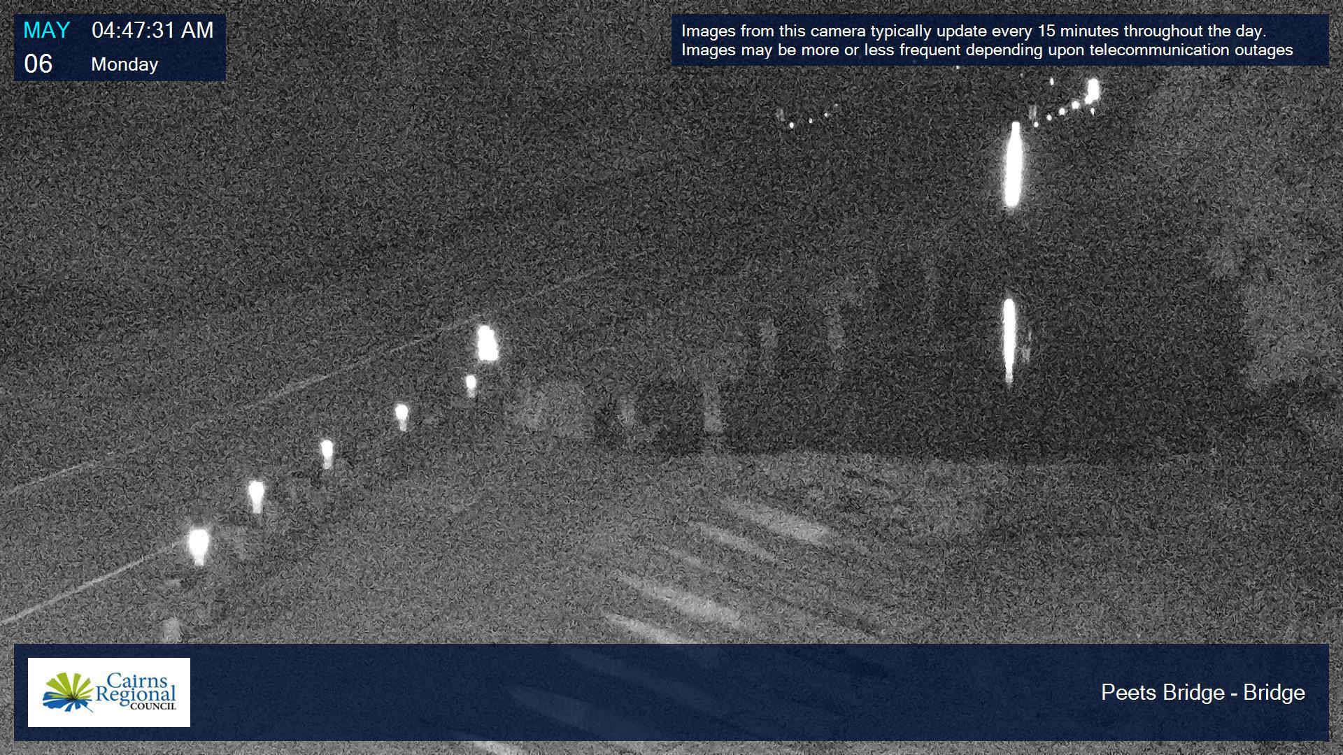
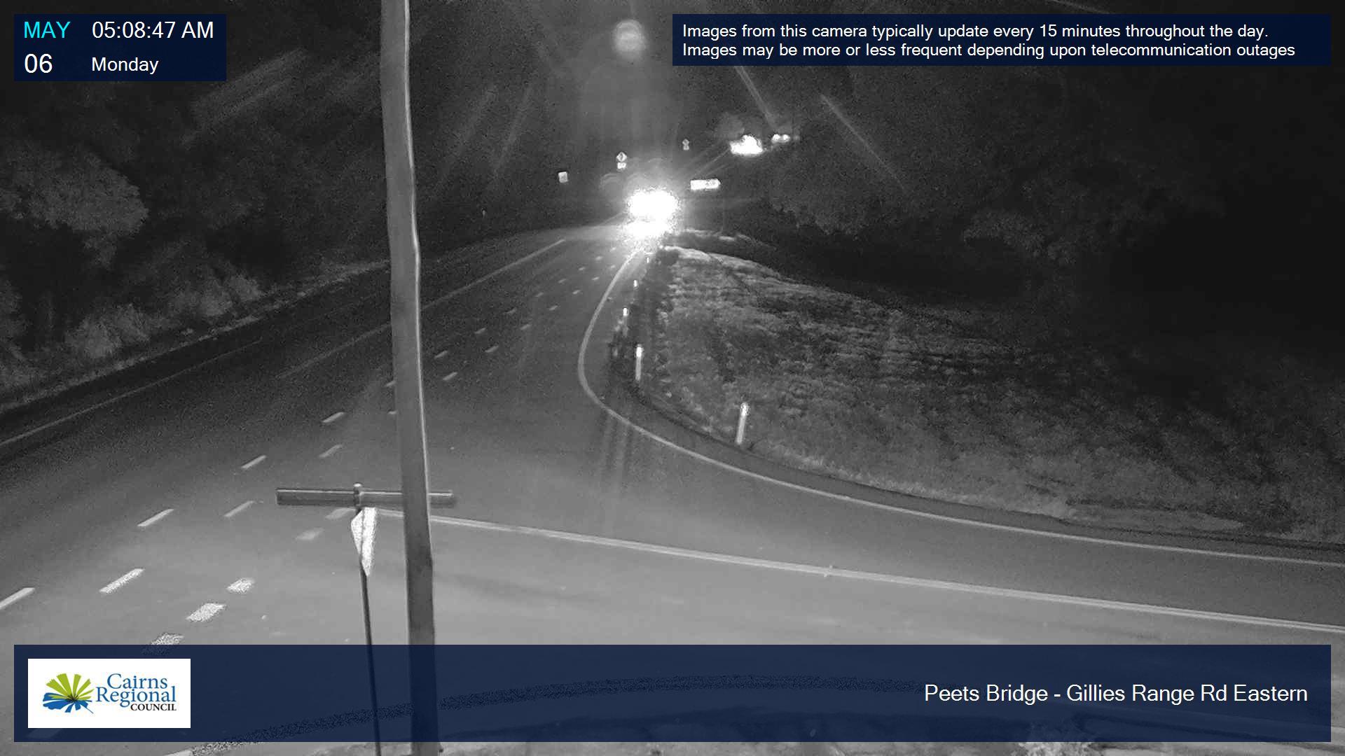
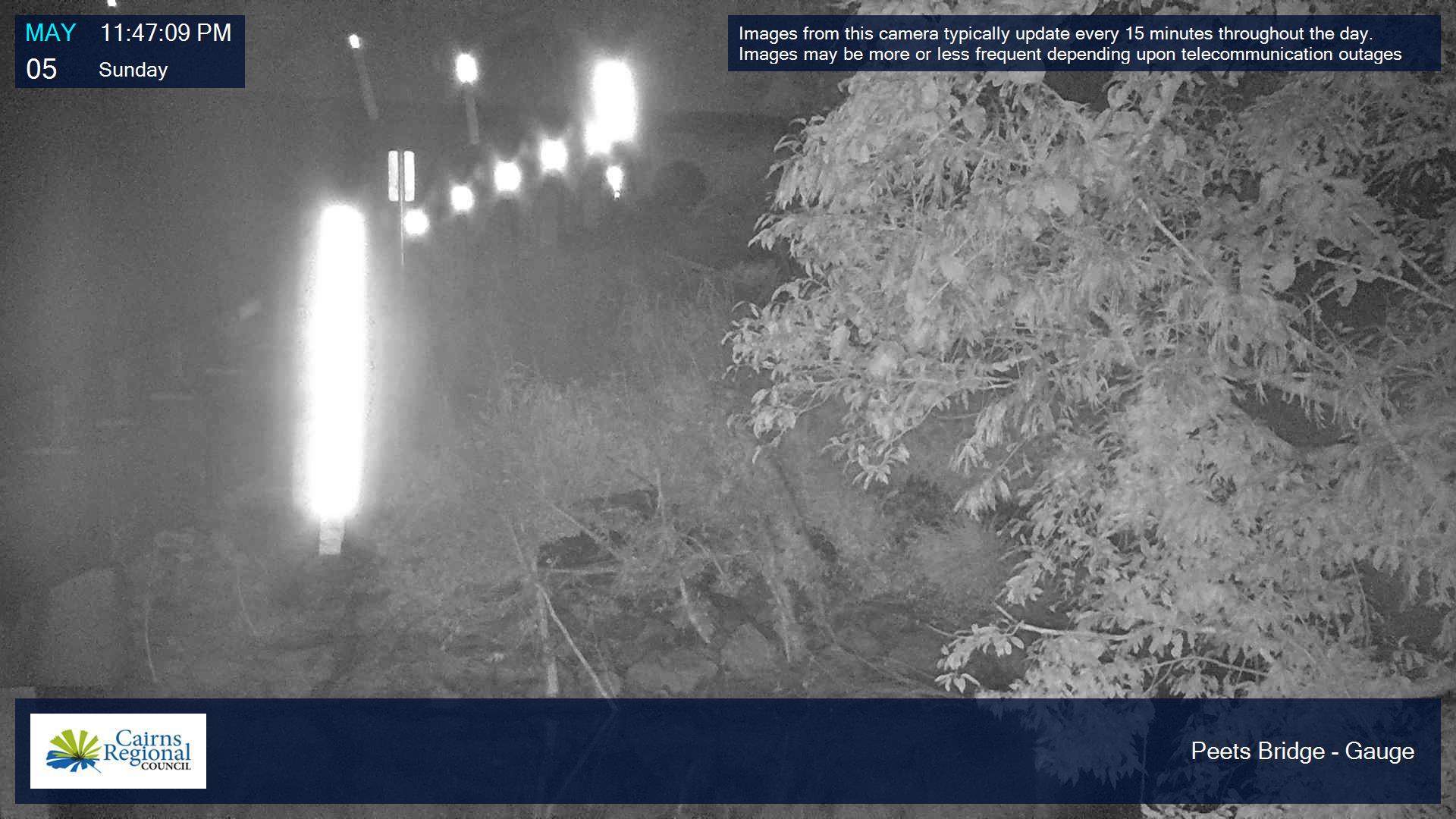
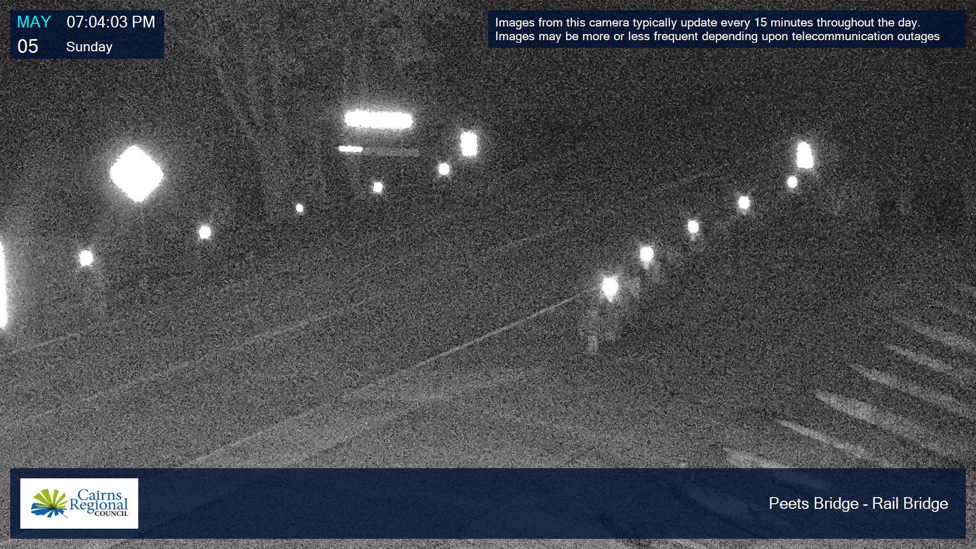
Peets Bridge in the Goldsborough Valley is the only access bridge for people living in the area and so it is crucial that residents can stay informed about evacuation routes.
Freshwater Creek is monitored by a camera at Ryan Weare Park in Freshwater.
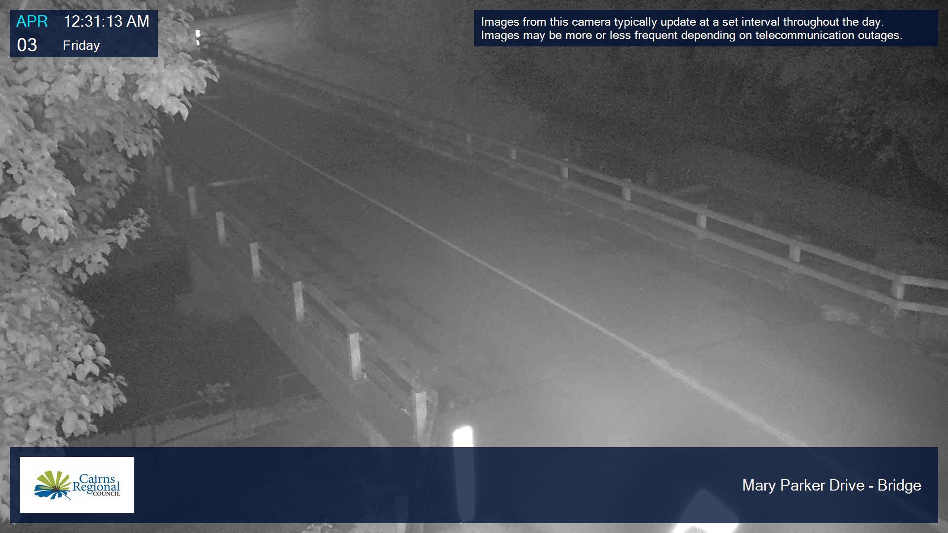
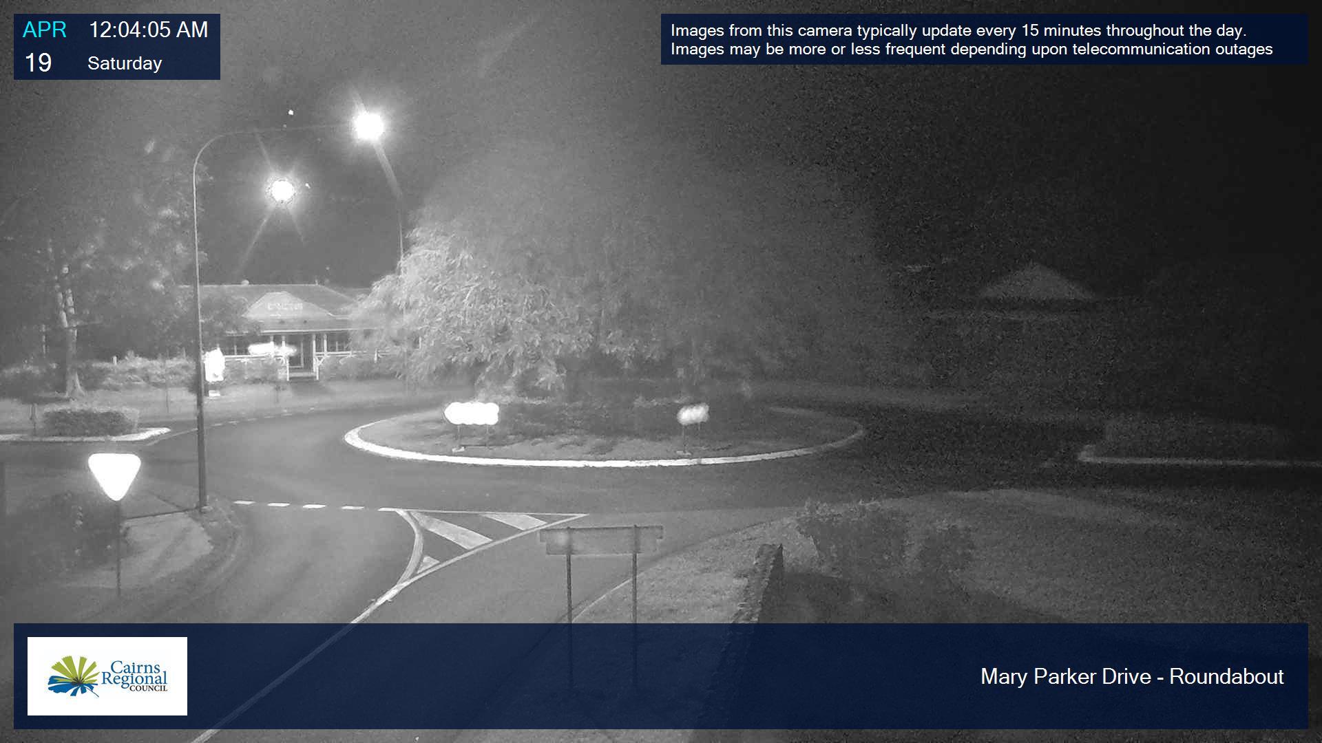
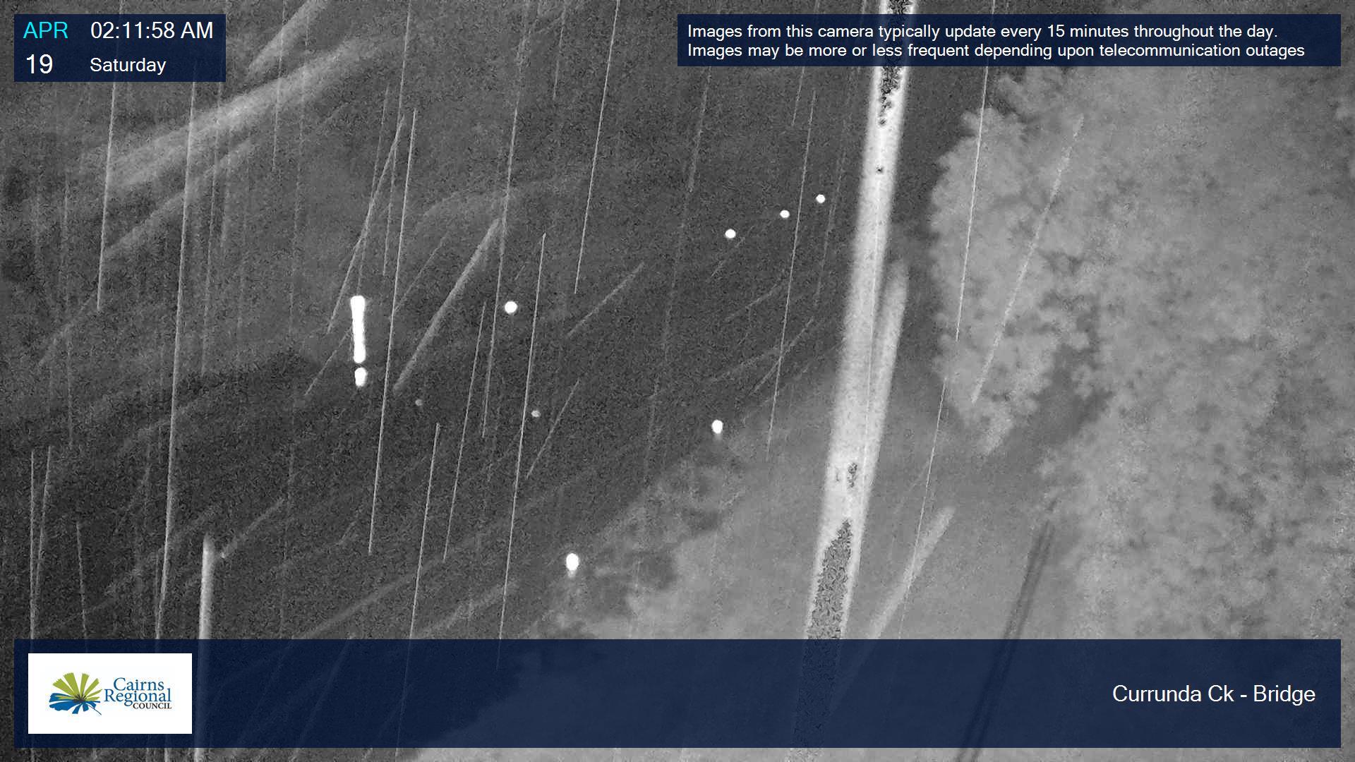
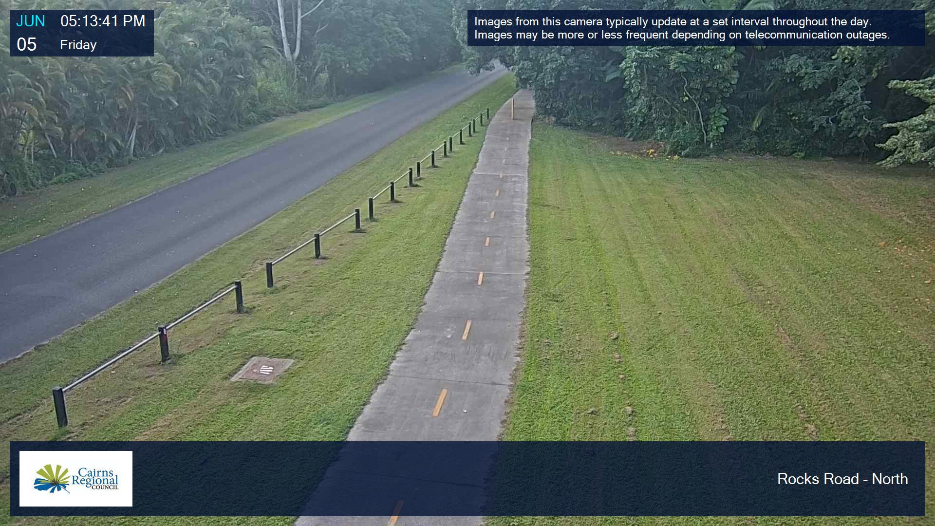
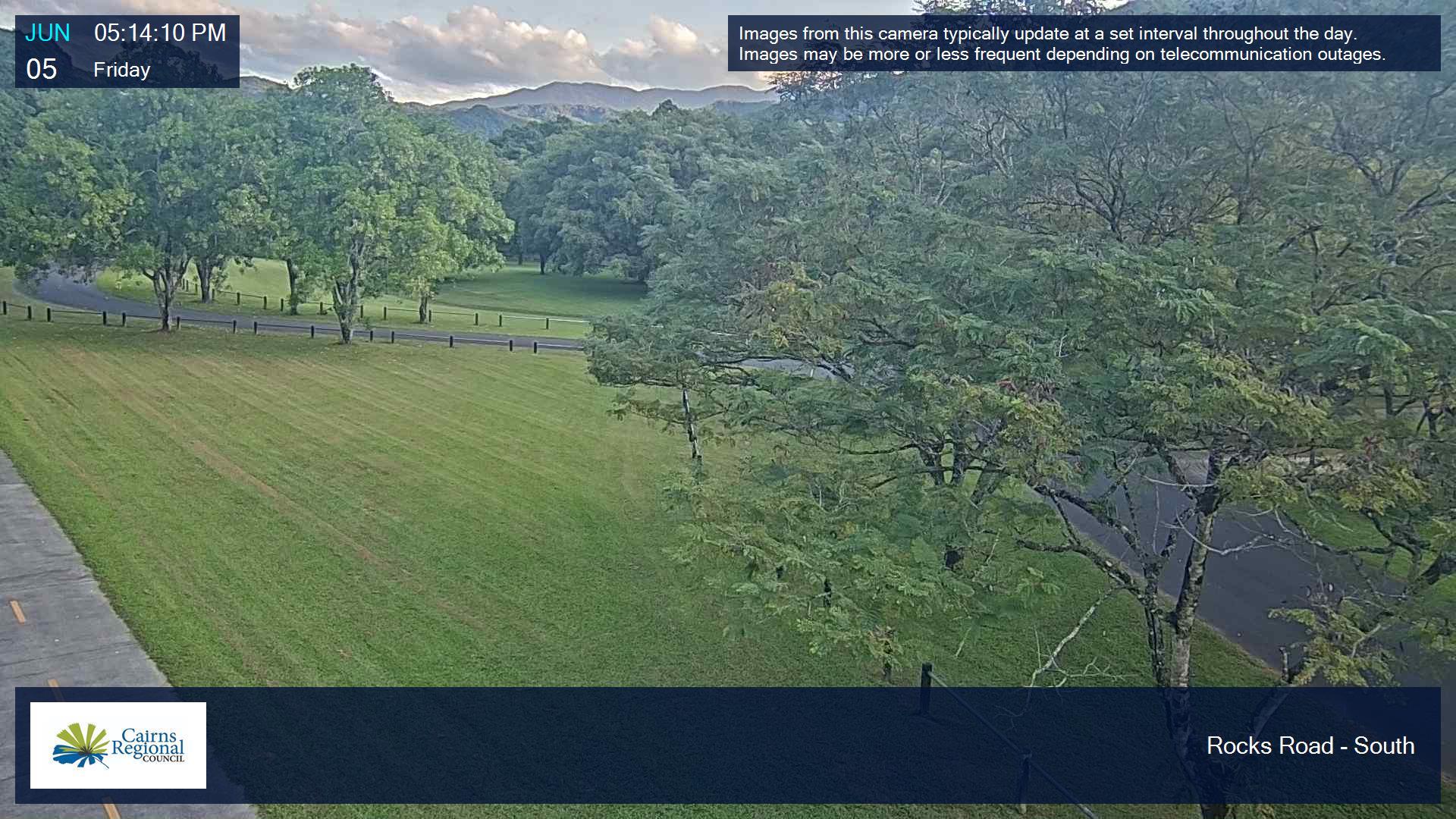
The Redlynch Valley is monitored by cameras at Rocks Road, Currunda Creek and Mary Parker Drive.
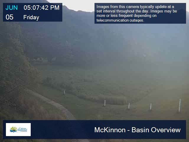
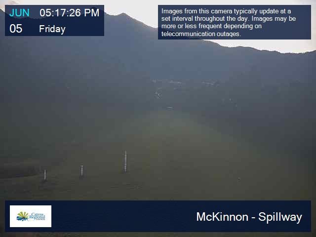
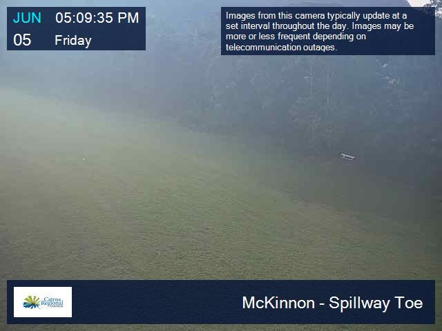
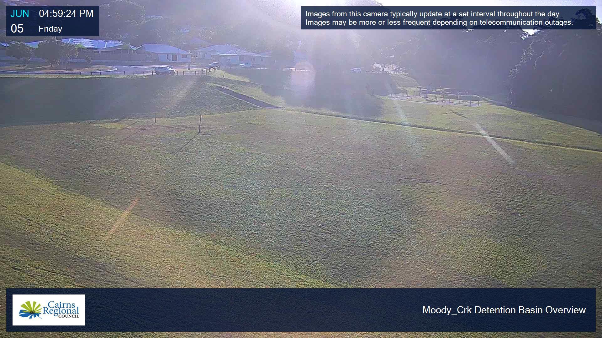
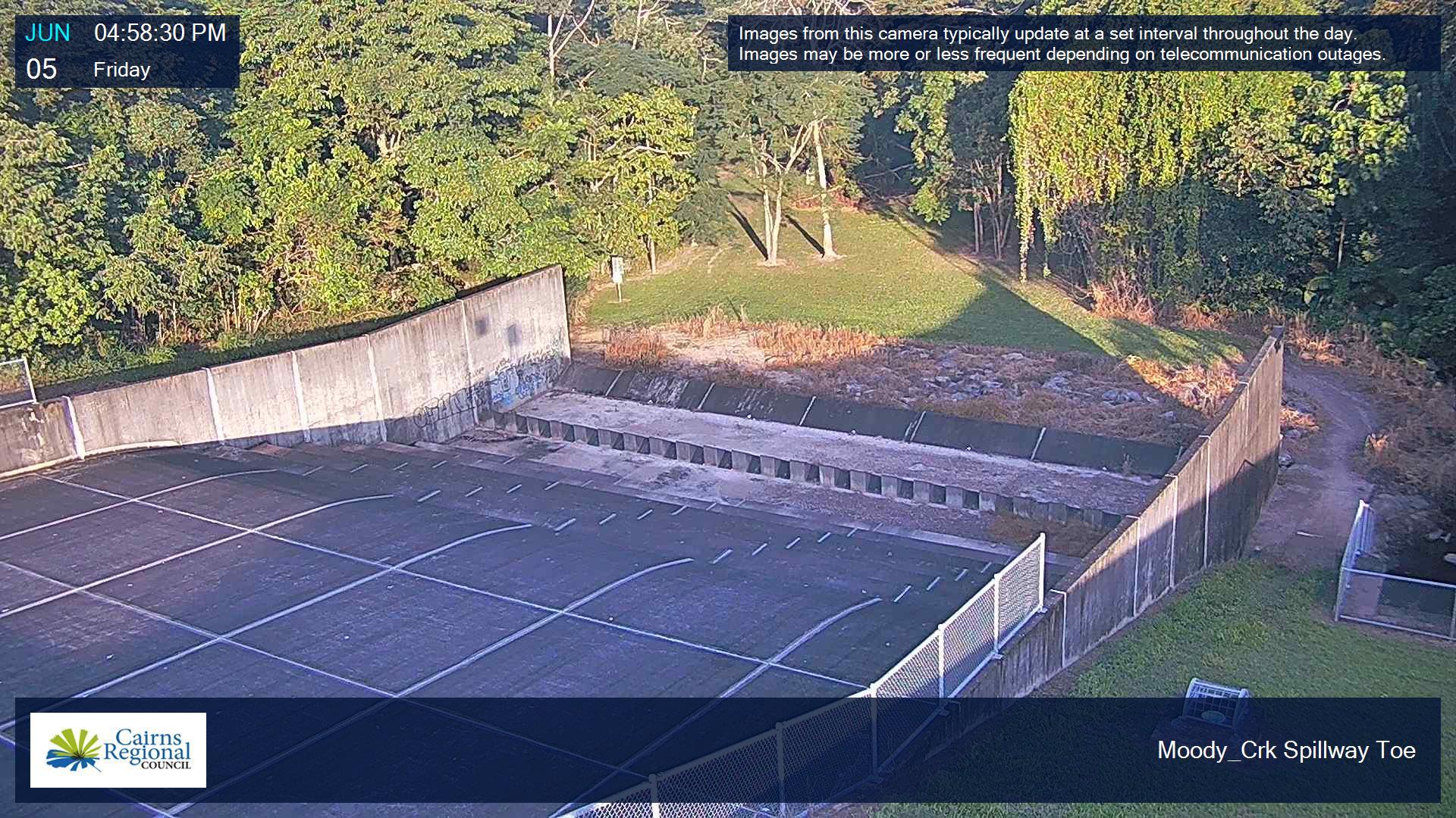
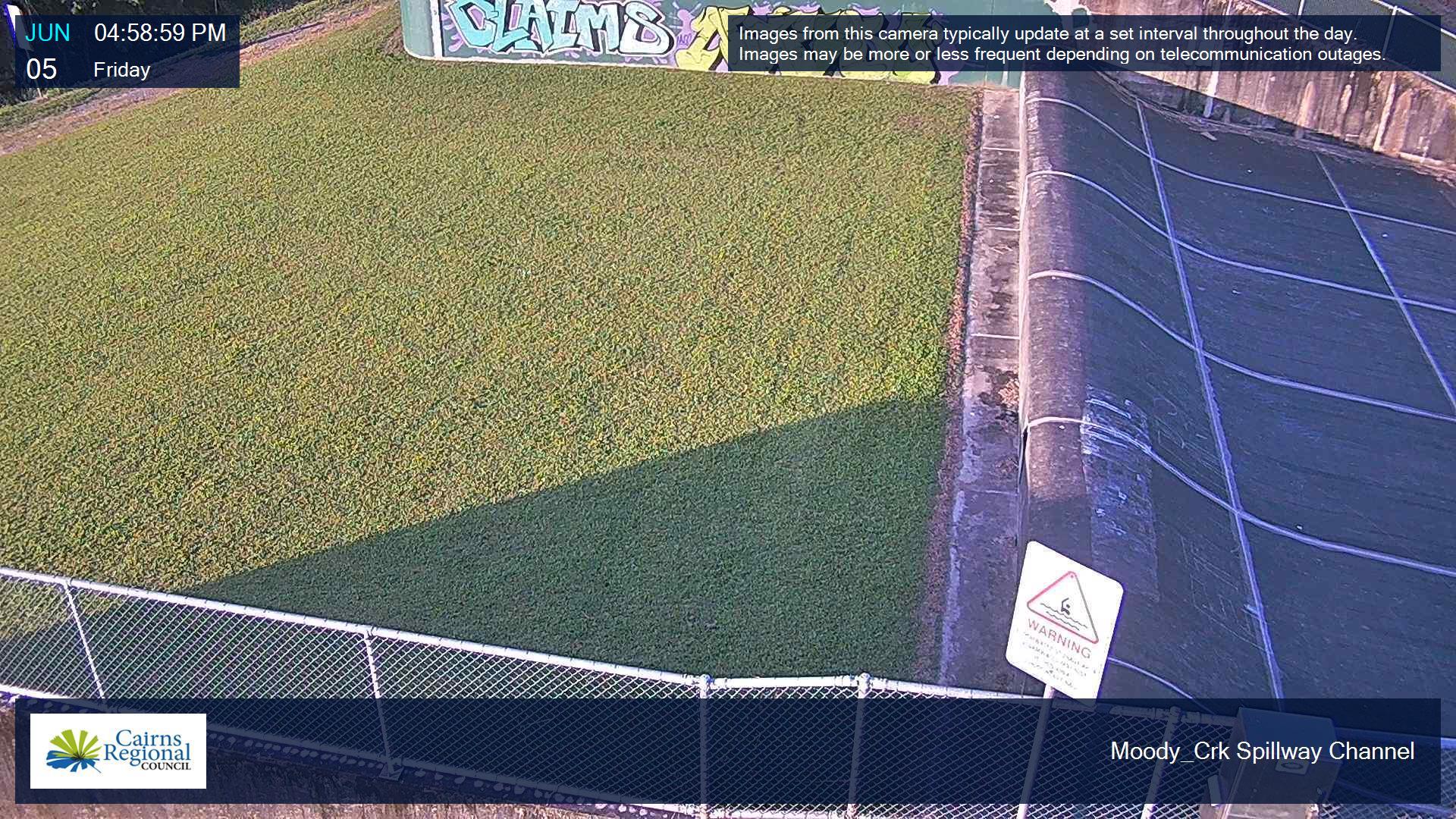
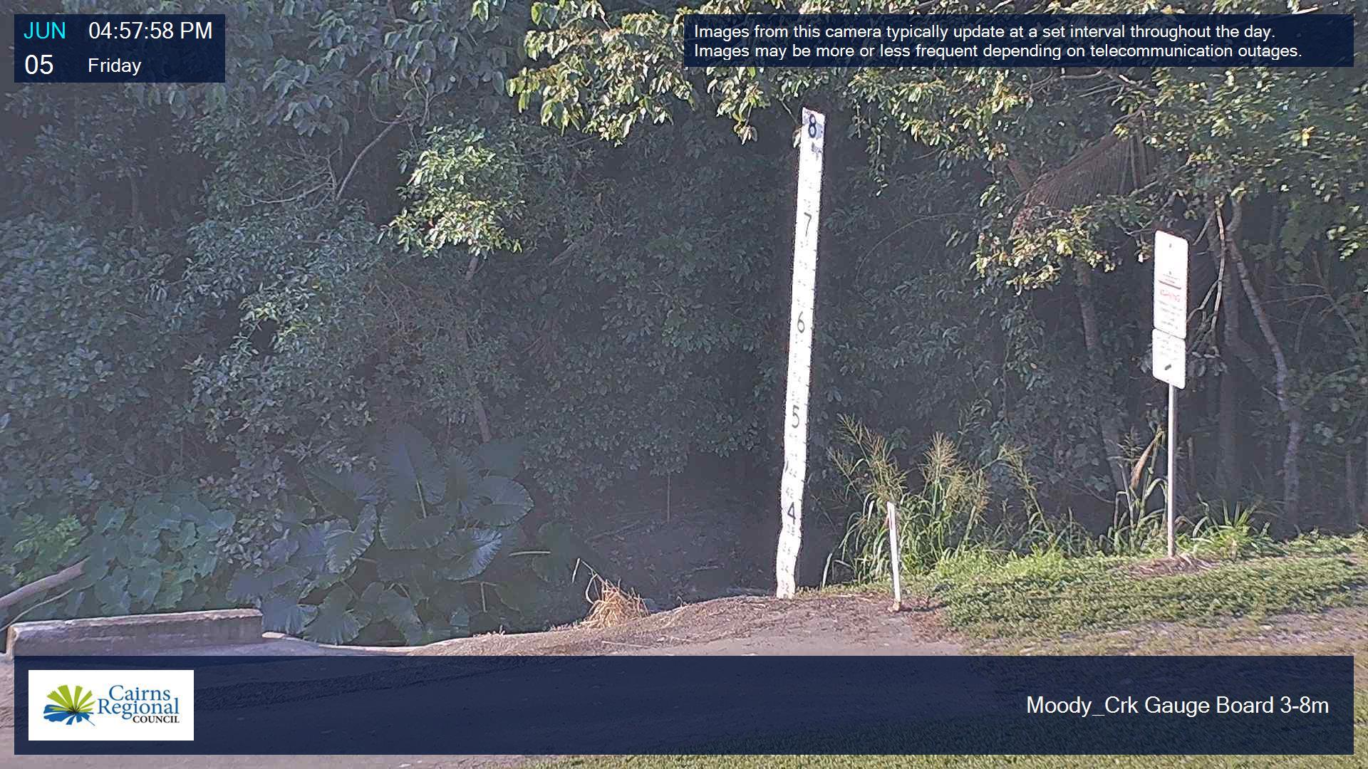
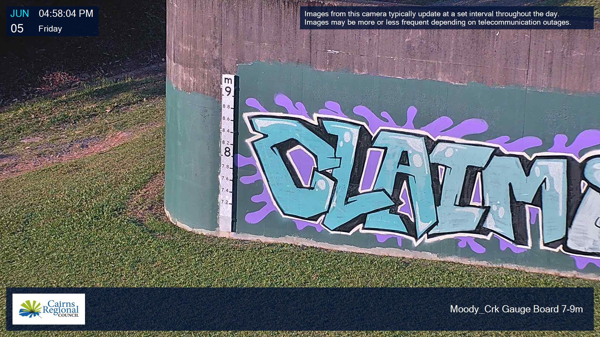
Cameras have also been installed at the McKinnon Creek and Moody Creek detention basins and low-lying areas that can impact road access in Yorkeys Knob, Machans Beach and Holloways Beach.
You can view these cameras from different angles below. Images are updated every 30 minutes during normal conditions and more frequently during times of potential flooding.
The "flood cam" is part of the Flooded Roads Early Warning System (FREWS) project, which Council is expanding to other flood-prone infrastructure across the Cairns region.
FREWS involves the installation of flood monitoring equipment to provide up-to-date hydrology data and imagery on flood levels. The data is used by Council's Disaster Management Unit and the Local Disaster Management Group to make informed decisions during an emergency or pending emergency.
The project is jointly funded by Cairns Regional Council and The Department of Local Government, Community Recovery and Resilience.
Peets Bridge
Bridge
Gillies Range Road eastern
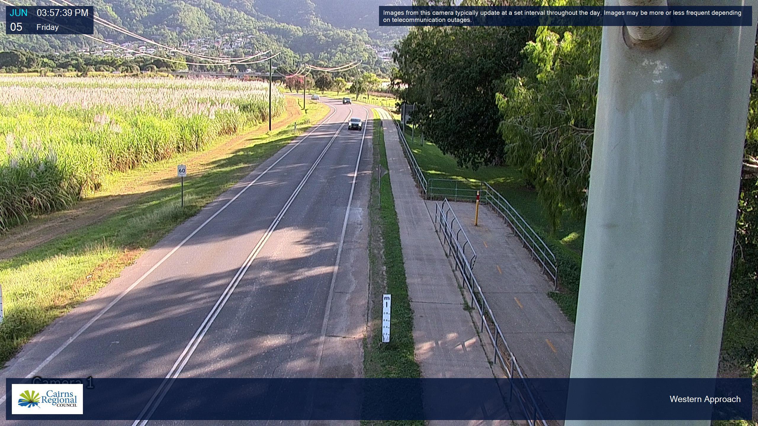
Gillies Range Road western
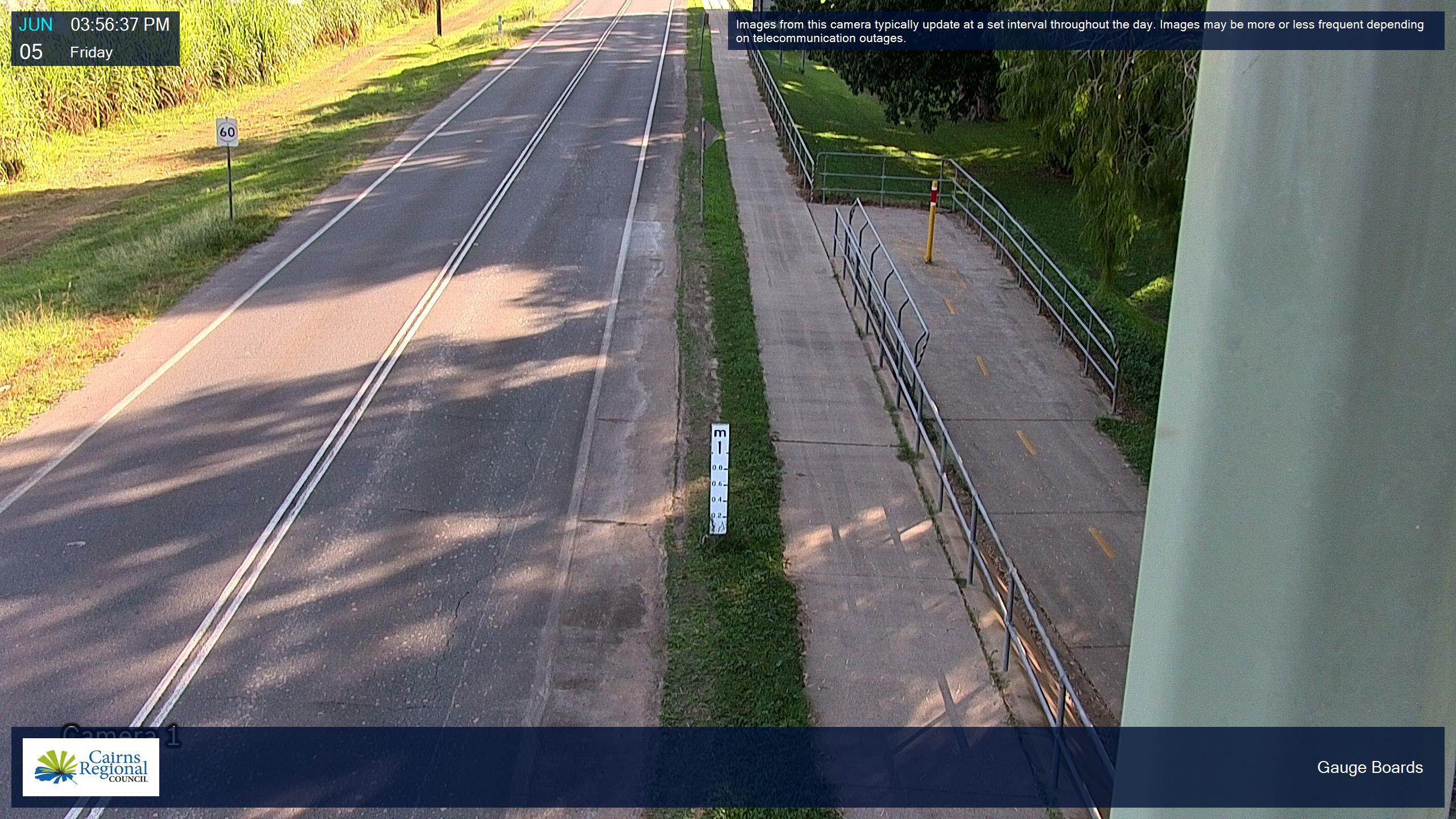
Gauge (flood marker)
Rail bridge
Ryan Weare Park
Bridge

Flood marker
Flood marker close-up
Western approach
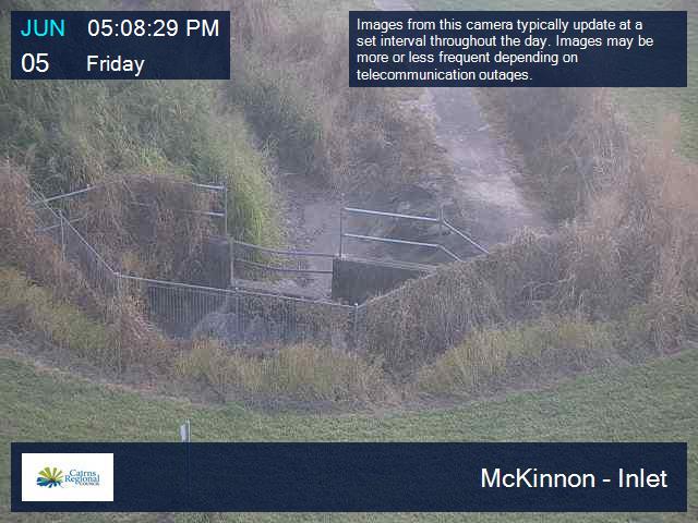
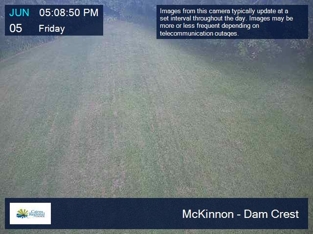
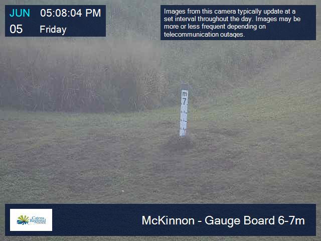
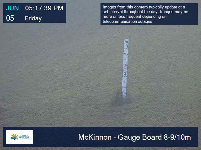
McKinnon Creek
Inlet
Dam Crest
Flood Marker 6-7m
Flood Marker 8-9/10m
Basin Overview
Spillway
Spillway Downstream

Spillway Toe
Mary Parker Drive
Bridge
Roundabout
Moody Creek
Detention Basin Overview
Spillway Toe
Spillway Channel
Gauge Board 3-8m
Gauge Board 7-9m
Currunda Creek
Bridge
Rocks Road
North
South
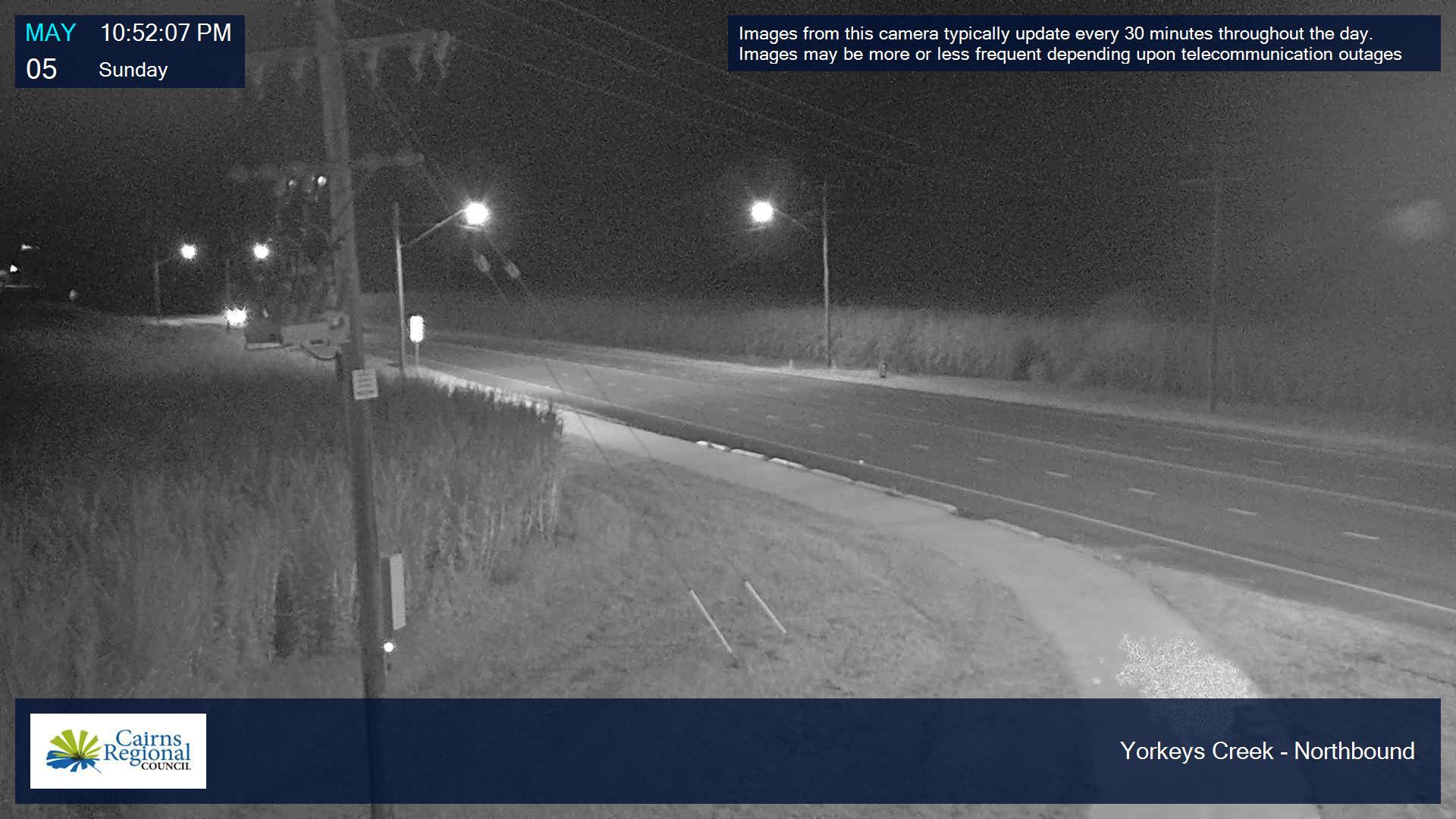
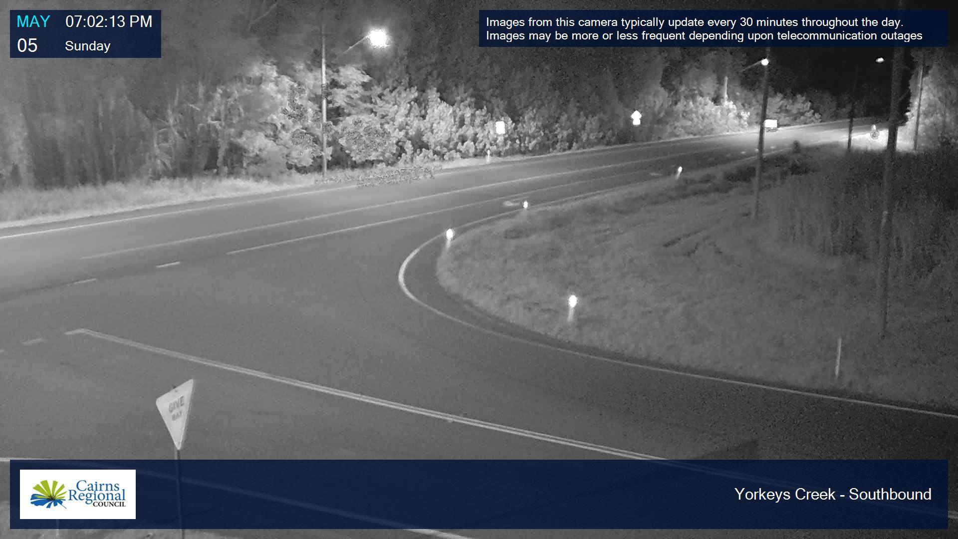
Yorkeys Creek
Northbound
Southbound
Dunne Road
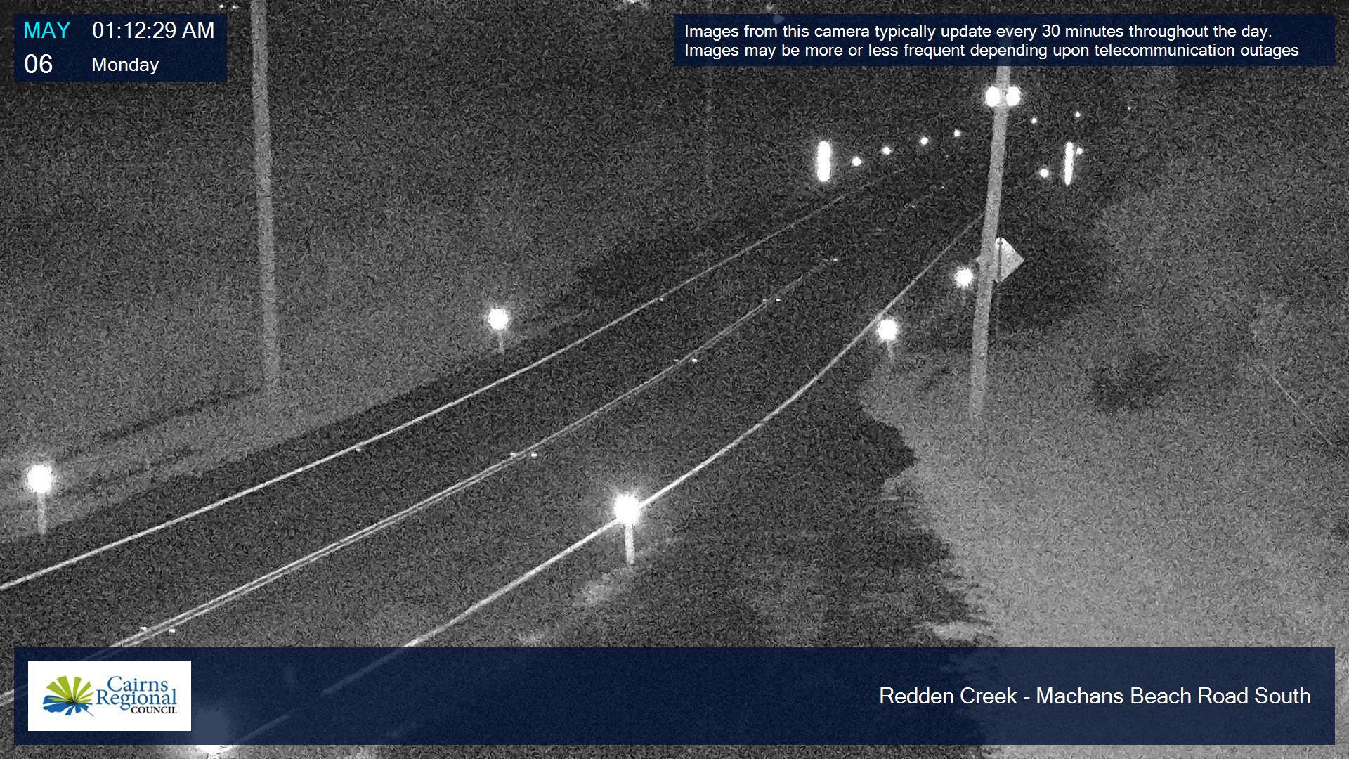
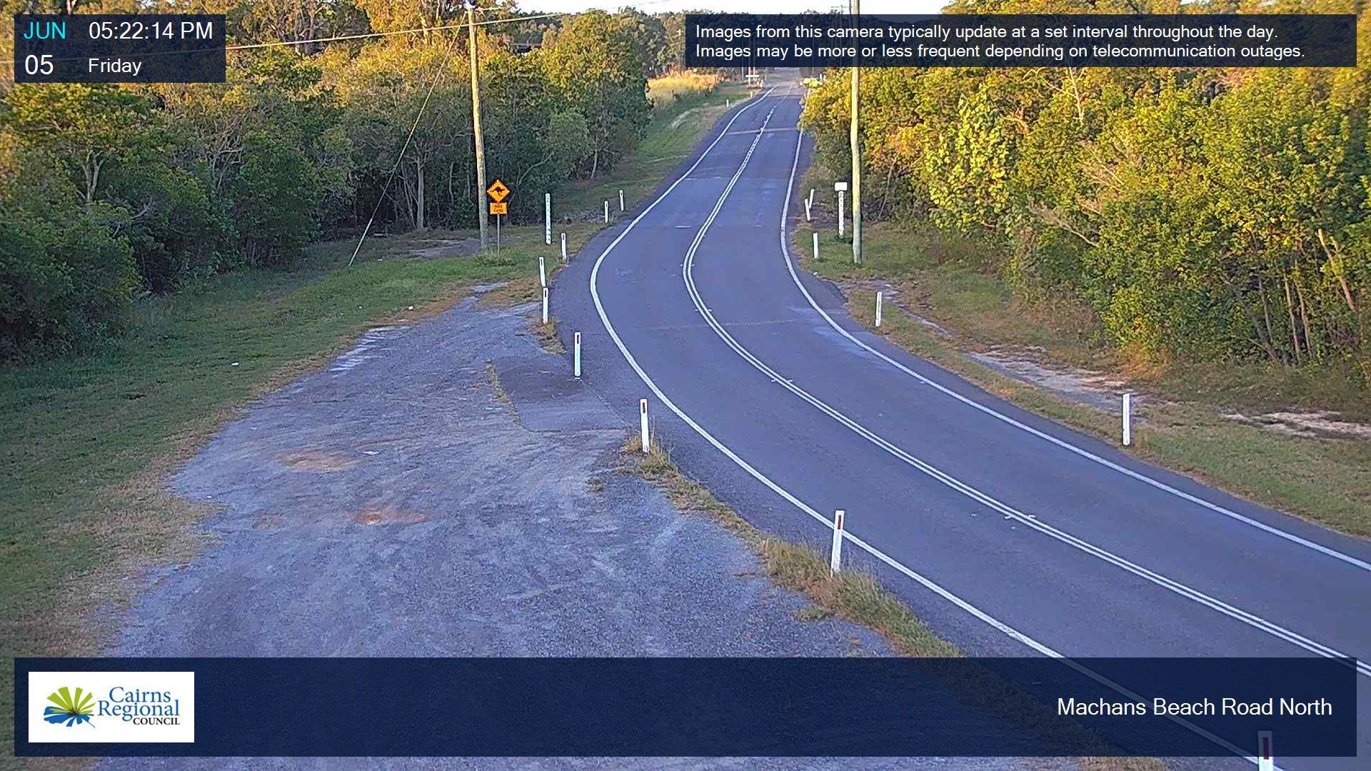
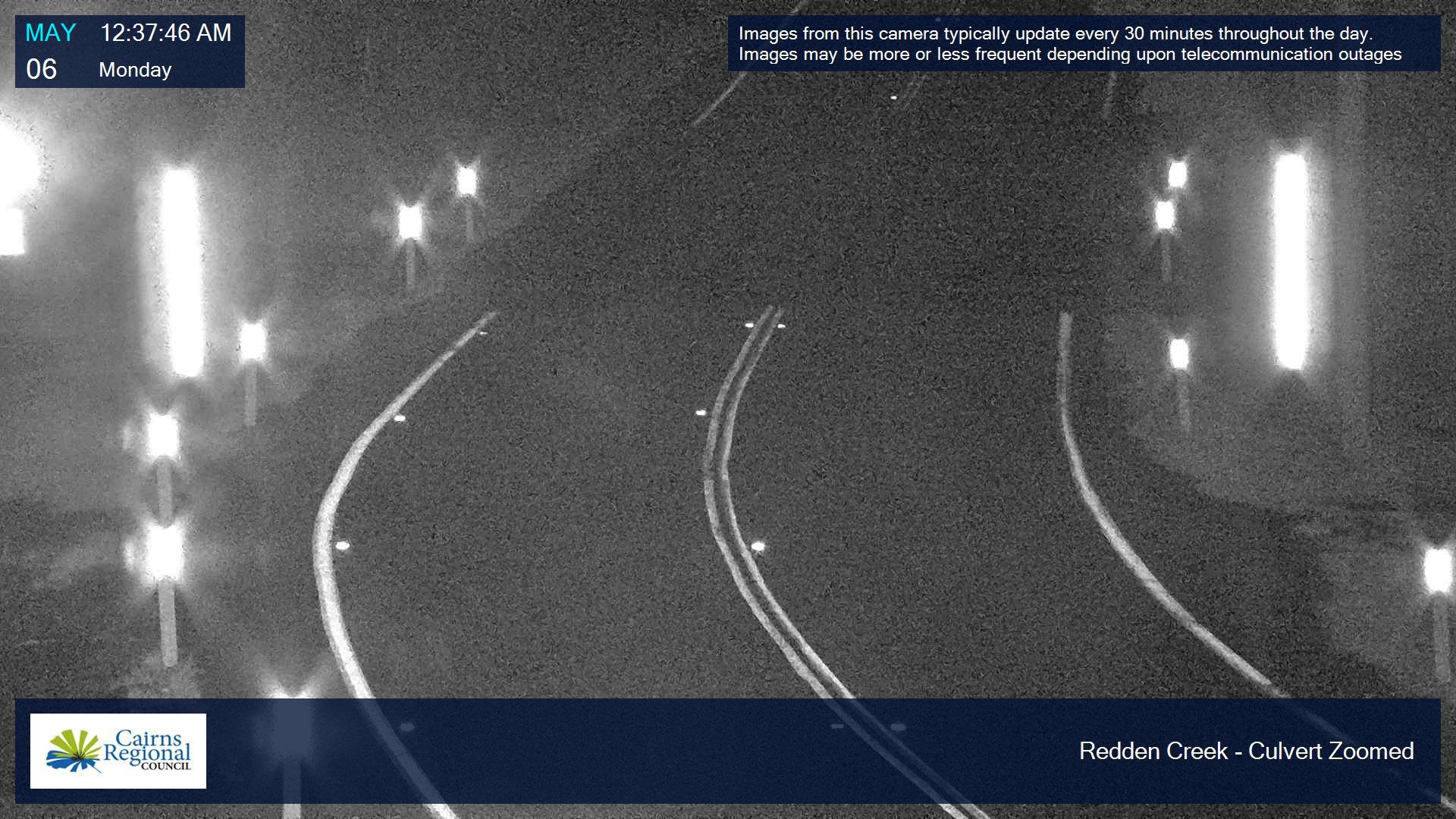
Machans Beach
Machans Beach Road South
Machans Beach Road North
Culvert
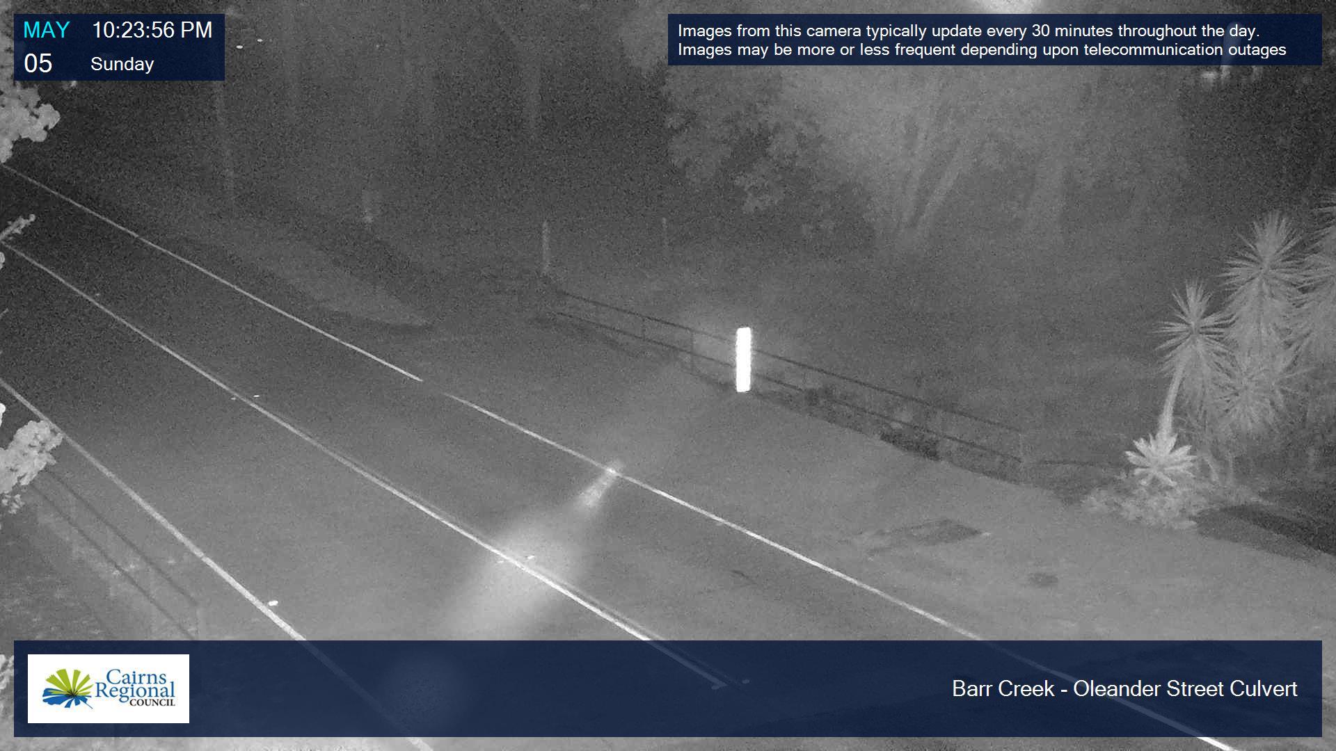
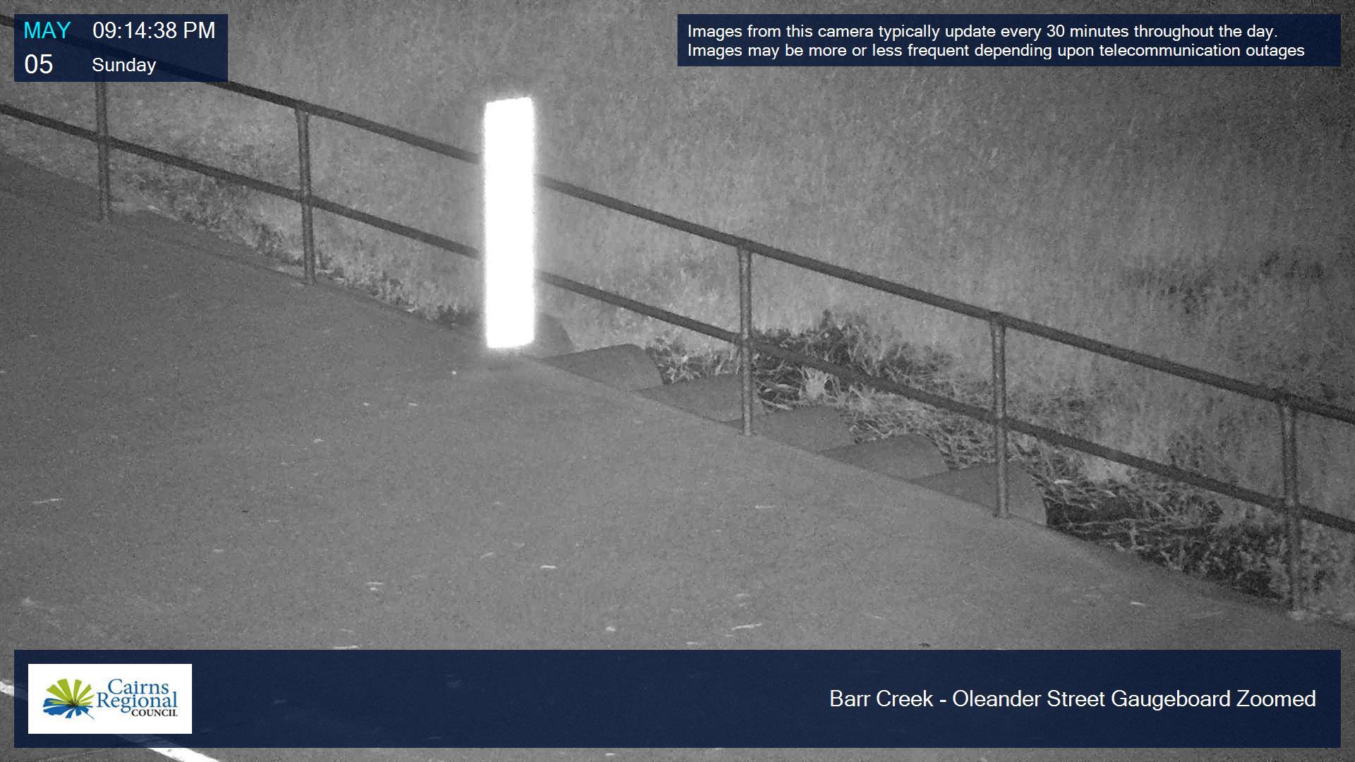
Barr Creek
Oleander Street culvert
Oleander Street flood marker
Last Updated: 5 January 2026
Latest News > All News

Cairns delivers best value for ratepayers
New benchmarking data has confirmed Cairns’ residents continue to receive some of the most competitively priced rates and utility charges...
29 July 2026
King tides expected in Cairns this week
King tides are expected to affect Cairns this week, starting from Tuesday 28 July to Thursday 30 July....
28 July 2026

Air Force Cadets in march of honour
A Freedom of Entry march will take place on the Cairns Esplanade on Saturday 1 August, with the 104 Squadron...
27 July 2026