CairnsPlan 2016 Version 2.0
Version 2.0 of the CairnsPlan 2016 commenced on 9 September 2019 and was superseded by Version 2.1 which commenced on 11 November 2019.
Document excluding Schedule 2 & 3 mapping
The document below presents the CairnsPlan 2016 v1.3 Parts 1 to 10, Schedules 1, 3, 4 and 5, and appendices. Schedules 2 and 3 are large map files and are available separately for download.
NOTE
The below file is very large. If you wish to print only a selection of pages, do not select "print all". Be sure to set your required print range in your browser or Adobe window.
The document is 4.7 MB, it may take some time to load.
Schedule 2 & 3
The large Schedule 2 file below presents strategic framework, zone, local plan and overlay maps applicable to the planning scheme area under the CairnsPlan 2016 v1.3.
The large Schedule 3 file contains the Local government infrastructure plan mapping and supporting material.
Last Updated: 5 October 2021
Latest News > All News
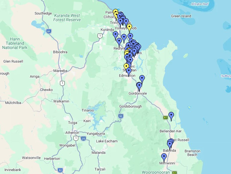
What's happening in your suburb this month?
Friendlier and safer community spaces, coastal protection and smart water meter upgrades are being delivered across the Cairns region....
22 October 2026

2027 Australia Day Awards nominations open
Every year, Cairns Regional Council recognises how important it is to acknowledge the people around you who are making a...
22 October 2026
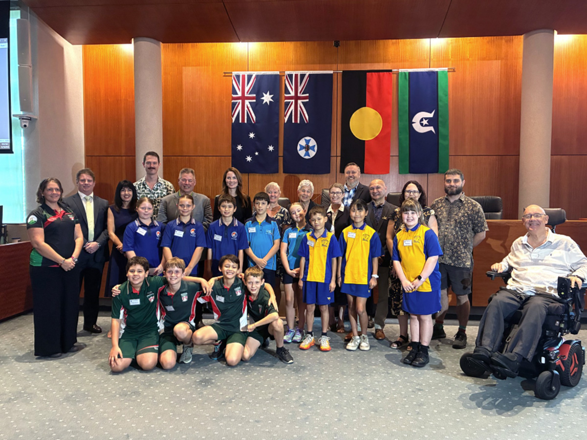
Young innovators lead the way on sustainability
Cairns' next generation of environmental leaders have presented innovative sustainability projects directly to Councillors, showcasing practical solutions to challenges ranging...
20 October 2026