King tides expected later this week
Published: 12th May 2026. (Note: information was correct at date of publication but may have since been changed or superseded.)
King tides are expected to affect Cairns this week, from Thursday 14 May through to Saturday 23 May.
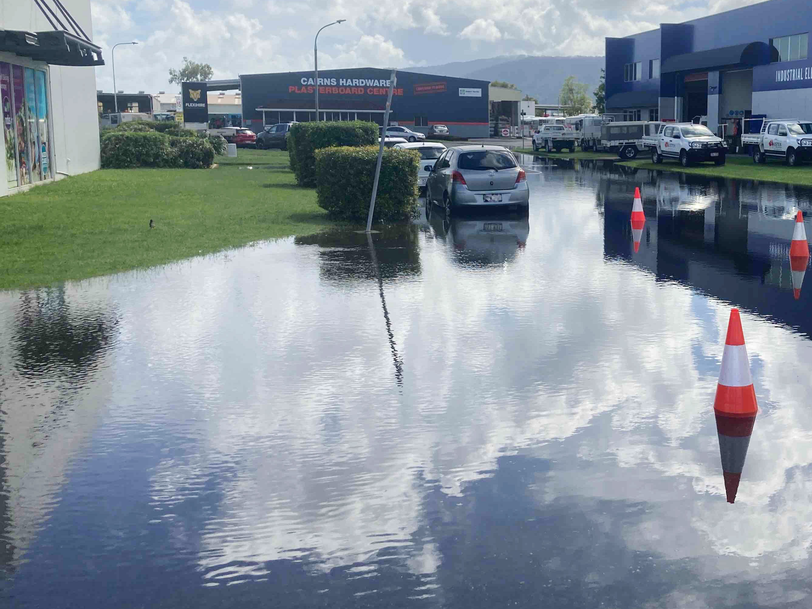 The highest tide of 3.23m is forecast to occur on Sunday night (17 May). There is no king tide forecast on Wednesday 20 May.
Most of the king tides are expected to occur overnight.
The potential impacts of king tides may be intensified by high rainfall, which could worsen flooding during this period.
During king tides, seawater can flow onto roads, footpaths and private property, potentially causing damage to vehicles and infrastructure. Saltwater flooding can damage cars immediately on contact.
Residents and visitors are urged to:
- Avoid parking vehicles in known low‑lying or tidal‑affected areas
- Never drive through floodwaters
- Exercise caution when travelling near the coast and tidal creeks.
Motorists are reminded to drive slowly and carefully to reduce bow waves, which can push water deeper into nearby homes and businesses.
Forecast king tide levels for Cairns (times and heights may vary for other locations):
- Thursday 14 May: 2.79m at 6.54am and 2.9m at 7.45pm
- Friday 15 May: 3.09m at 8.28pm
- Saturday 16 May: 3.31m at 9.13pm
- Sunday 17 May: 3.23m at 10pm
- Monday 18 May: 3.17m at 10.52pm
- Tuesday 19 May: 3.05m at 11.53pm
- Wednesday 20 May: No king tide forecast
- Thursday 21 May: 2.93m at 1.04am
- Friday 22 May: 2.84m at 2.23am
- Saturday 23 May: 2.79m at 3.34am.
To protect public safety and private property, Council may temporarily close roads affected by tidal flooding. Motorists must obey all road closure signage and find alternative routes until conditions improve.
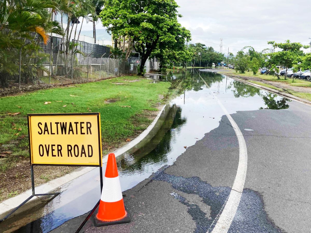 Streets that are most likely to be impacted by king tides include:
- Redden St, Portsmith
- Tingira St, Portsmith
- Liberty St, Portsmith
- Walters St, Portsmith
- Trawler Base Rd, Portsmith
- Bramp Cl, Portsmith
- Cook St, Portsmith
- Fearnley St, Portsmith
- Parts of Aumuller St (near Comport St), Portsmith
- Toohey St, Portsmith
- Knight St, Portsmith
- Palmer St, Portsmith
- Hartley St, Portsmith
- Hasell St, Portsmith
- Parts of Draper St (Hartley St to Kenny Street), Portsmith
- Spence St and the Esplanade intersection, Cairns City
- Corner of Lily St and the Esplanade, Cairns North
Residents should monitor the Bureau of Meteorology website for general information related to tide heights as well as the Cairns Disaster Dashboard for any additional weather warnings that may affect the Cairns region.
Last Updated: 12 May 2026
Latest News > All News
Young innovators lead the way on sustainability
Cairns' next generation of environmental leaders have presented innovative sustainability projects directly to Councillors, showcasing practical solutions to challenges ranging...
20 October 2026
Getting active around Cairns
Active travel includes cycling and walking, and any transport that relies on human-power. Pedestrian walking paths and community footpaths provide...
15 October 2026
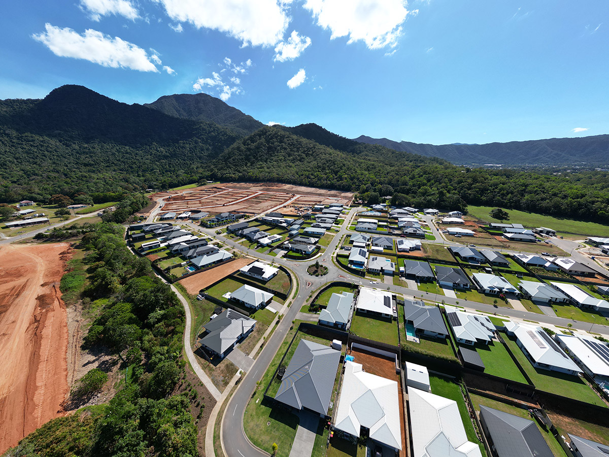
Regionally responsive growth at Mount Peter
As Cairns works to address growing housing demand, Cairns Regional Council has endorsed a submission on Economic Development Queensland's (EDQ)...
15 October 2026