Contour mapping
The Contour Mapping service previously provided by Cairns Regional Council has been discontinued.
The elevation data used in that service can still be accessed through publicly available and free to use web services provided by the Queensland Department of Resources and Geosciences Australia at the links below:
Please note that the elevation layers available through Queensland Globe are limited to 10m increments. ELVIS has significantly more detailed data available though it requires specialist spatial or CAD software to fully utilise.
These services are not provided by Cairns Regional Council. Questions regarding how to use these services should be directed to the contact links provided on each site.
You can request Contour Mapping to assist with your planning or building project. Complete the request form below.
Contour mapping disclaimer
The information provided on Council’s contour mapping is for information purposes only. Please note that while every effort has been made to ensure that the information contained on the mapping is correct and up to date, Council does not guarantee the accuracy, reliability, completeness or suitability of any such information and makes no warranty or representation about its accuracy.
Council is not responsible to you for any loss, damage, cost or expense incurred by you as a result of any error, omission or misrepresentation in relation to this mapping. You should not place reliance on the information contained in or on the contour mapping where such reliance may result in loss, damage or injury. Council excludes, to the maximum extent permitted by law, any liability (including, without limitation, liability in negligence) which may arise as a result of your use or the use by any person of the mapping, its content or the information in it.
This information and mapping data remains the property of the Cairns Regional Council and is not to be reproduced or relied upon in the preparation of any Application to Council. Site contours should be confirmed by an appropriate survey conducted by a suitably qualified professional and such survey is at the sole expense and responsibility of any person who seeks to rely on site contour information.
Last Updated: 26 July 2022
Latest News > All News
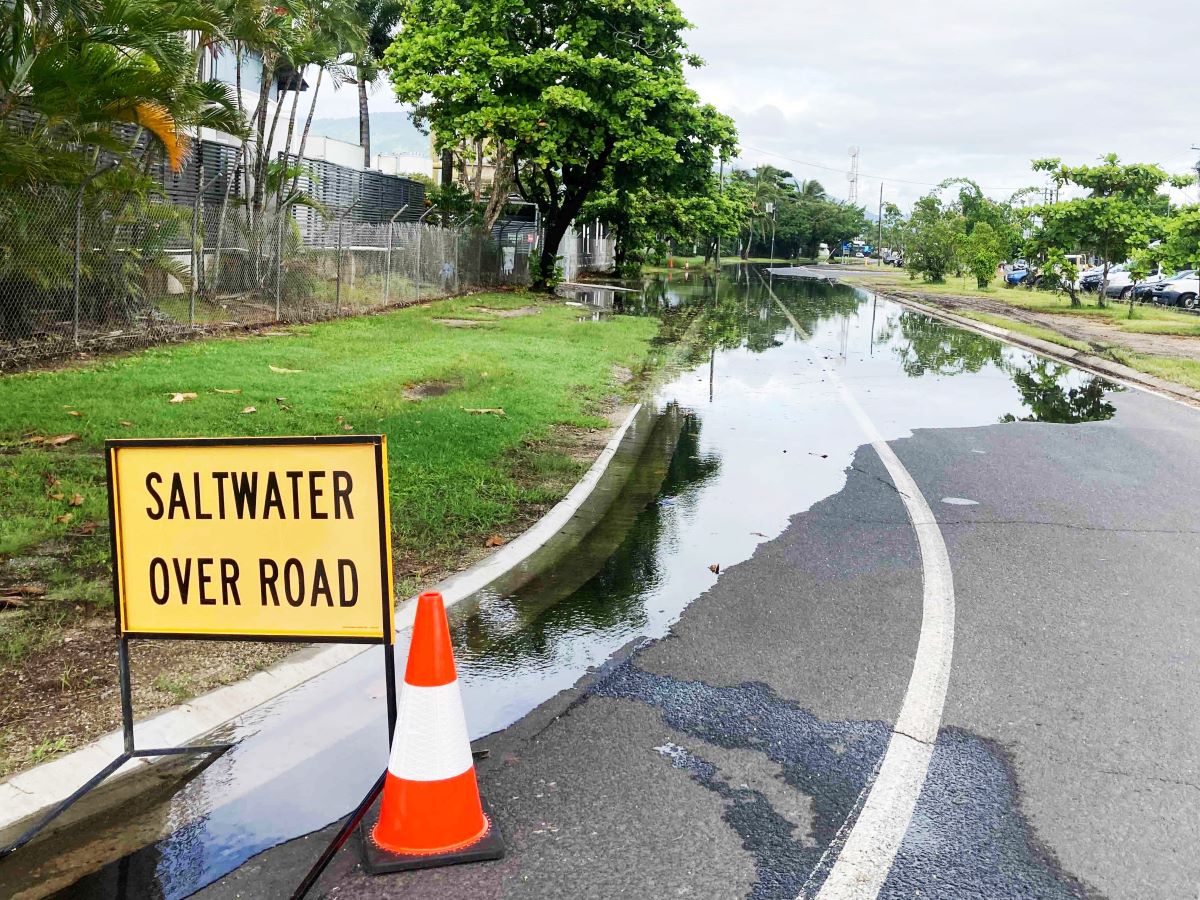
King tides expected in Cairns this week
King tides are expected to affect Cairns from Monday 26 – Wednesday 28 October.These king tides are all expected to...
26 October 2026

It's Cairns' annual cemetery clean-up time
The Cairns community is being encouraged to visit the resting places of loved ones ahead of Council’s annual cemetery clean-ups...
26 October 2026
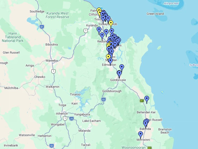
What's happening in your suburb this month?
Friendlier and safer community spaces, coastal protection and smart water meter upgrades are being delivered across the Cairns region....
22 October 2026