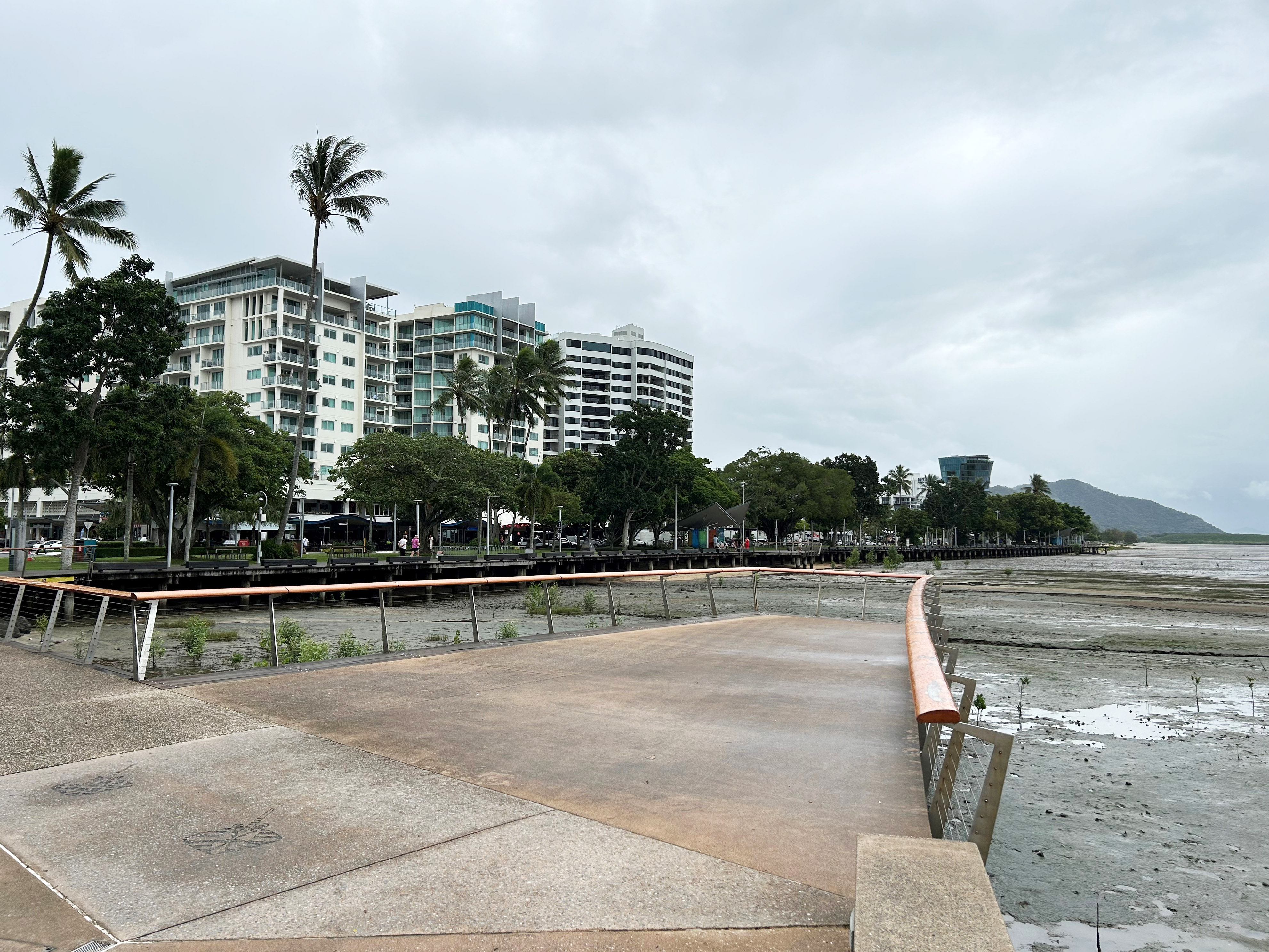
Sea level rise mapping
The sea level rise mapping indicates areas that will potentially form part of the intertidal zone and assumes no adaptation action is undertaken.
Consistent with the State’s requirements, the updated mapping includes an allowance of 0.8m sea level rise by the year 2100, due to the impact of climate change. Mapping has been prepared for each planning horizon and is based on present day Highest Astronomical Tide (HAT) plus a sea level rise allowance for each planning horizon out to the year 2100. Mapping is indicative only and does not represent a shoreline position or where land may be lost to coastal processes.
Last Updated: 23 November 2021
Latest News > All News
Free green waste disposal starts this weekend
Residential green waste can be dropped off free of charge at transfer stations from 18 May to 26 May from...
Maintenance works on Esplanade viewing platform
Maintenance works on the western viewing platform on the Cairns Esplanade, behind the Reef Eye Ferris Wheel are scheduled to...
Council reaffirms water security is its top priority
Council has reaffirmed that the Cairns Water Security – Stage 1 project (CWSS1) remains its number one advocacy priority and...


