Residents reminded to be disaster prepared
MEDIA RELEASE
Published: 22nd January 2024. (Note: information was correct at date of publication but may have since been changed or superseded.)
The Cairns Local Disaster Management Group (LDMG) has moved to alert status and is continuing to a monitor tropical low which located about 880 east northeast of Cairns.
The severe weather system is currently in the Coral Sea and according to the Bureau of Meteorology (BOM) is likely to become a tropical cyclone tomorrow (Tuesday).
The low is forecast to begin moving to the southwest later today, towards the east Queensland coast.
Mayor Terry James, who is the LDMG Chair, said while BOM’s tracking map currently predicts the system is more likely to impact areas south of Cairns, it was important that residents should remain vigilant and be prepared.
“As we have just experienced, weather systems are unpredictable and while its forecast track suggests an impact south of Cairns, it is a timely reminder to residents that we are still in the wet season and we need to be prepared at all times,” he said.
“I would urge residents to go over their household emergency plans and make sure they are familiar with the Cairns Disaster Dashboard.”
The Cairns Disaster Dashboard is a single point of reference for information and advice during a disaster. It brings information from Council, the Bureau of Meteorology, emergency services, utilities such as Ergon and Telstra, road status updates, and traffic and flood cams, together in one place.
King tides this week
Cr James said that floodwaters could also be affected by king tides, which are being experienced in Cairns this week, through to Saturday.
“Motorists should be aware that tidal flooding is saltwater, which can damage cars on contact. Avoid parking cars in low-lying tidal areas and never drive through floodwaters,” Cr James said.
“Motorists should drive carefully and slowly, not only for the safety of road users and pedestrians, but to lessen the impact of bow waves, which can push water into nearby properties.
“The impact of these king tides on low lying areas could be exacerbated by heavy rainfall.”
King tide levels for Cairns are expected at the following times (other areas may vary):
- Tuesday 23 January: 3.07m at 8.39am
- Wednesday 24 January: 3.08m at 9.11am
- Thursday 25 January: 3.04m at 9.40m
- Friday 26 January: 2.97m at 10.07am
- Saturday 27 January: 2.87m at 10.31am
Avoid floodwaters
Motorists are also being reminded to avoid driving in floodwaters and people advised to stay clear of stormwater drains and waterways.
“With wet weather forecast and local catchments already wet, as well as the impact of this week’s king tides, this can lead to significant amounts of fast-flowing water rushing into our water systems,” Cr James said.
“Given the recent flooding and the impact to infrastructure, motorists should be extra vigilant of road conditions and potential for new or further landslips at already impacted sites.
“Floodwaters can also change road conditions without warning. If you can't see the bottom, you don't know if it's still there or washed away – motorists should also apply the simply rule that ‘if it’s flooded, forget it’.”
Community support
Cr James acknowledged there were some parts of the community still dealing with the effects of last month’s flooding.
“I want to assure to residents that the LDMG is prepared should there be another event and that we are continuing to work with those people and communities impacted by last month’s flooding.
“Anyone who is feeling anxious, there is support is available by calling Lifeline on 13 11 14 or Beyond Blue on 1300 22 46 36.
“For a full list of available support services select the Community Relief tab on the Cairns Disaster Dashboard Recovery page.”
Storm surge and flooding
Cr James said that it was crucial that residents understood that there were different kinds of flooding, with Cairns most likely to be affected by storm surge and riverine flooding, as well as flash flooding.
“People need to understand that there are several different types of floods, and the damage each can do can be quite different,” Cr James said.
“Knowing which type of flood could affect your home is key to knowing what you can do to prepare and ensure that you and your family are safe.”
Storm surge is caused when the pressure from a cyclone pushes down on the ocean surface forcing seawater onto land.
Importantly, Cr James reminded residents that in a cyclone, evacuation advice is given based on storm surge, not wind.
“Council has identified storm surge zones based on risk – the red zone is the highest risk area, closest to the coast, progressing to orange and yellow,” Cr James said.
“Areas near tidal rivers may be included in storm surge zones, even if they are a ‘long way’ from the coast.
“The easiest way to find out what zone you are in is by entering the address in the ‘Storm Surge Search’ feature of Council’s website, or viewing the storm surge maps on the Cairns Disaster Dashboard.”
River flooding (and flash flooding) is caused by heavy rainfall.
Residents should check flood mapping on Council’s website to be aware of river flooding risks to their property.
“Residents can find flood maps relating to a one-in-100-year flood on Council’s website,” Cr James said.
“However, it is important to note that these maps provide an indication only and should not be used to determine overall flood risk.
“They help residents gain a high-level view of water inundation in their local area, and assist with planning evacuation routes.
“If flooding is predicted, the Cairns Disaster Group will issue evacuation advice for streets or suburbs that are at threat, including recommended evacuation routes to avoid roads that are flooded or likely to be flooded.”
Sandbags available
Free sandbags are available for Cairns LGA residents to fill with sand on site from Council waste transfer stations.
“Residents in low-lying areas should prepare their properties for potential flooding,” Cr James said.
“Sandbags should be placed at least 3 courses high across doorways and other points where water can enter your home.”
Sandbags are for residential use only and scoops for filling will be provided.
Sandbags and sand will be available from the Portsmith, Smithfield, Gordonvale, and Babinda Transfer Stations, seven days a week, from 8.30am to 5.15pm, until supplies run out.
Stay informed
The Cairns Disaster Dashboard now has an interactive cyclone track map which includes official five-day forecast advice and information from the Bureau of Meteorology.
You can check the dashboard for updates on road conditions, power outages, weather warnings, flood cameras and other emergency information.
The dashboard also has information on storm tide zones and evacuation routes, live feeds from traffic and flood cameras and an interactive map showing road closures, the location of fires and other hazards.
The ABC (801 AM, 106.7 FM or 95.5 FM) is the official emergency broadcaster and a critical source of information, especially if other communication channels are impacted by loss of power or internet.
Register for Cairns Alert which is an opt-in service. Text messages will come from the Cairns Disaster Group.
For more information about being prepared, please visit Council’s website or the Cairns Disaster Dashboard.
Last Updated: 22 January 2024
Latest News > All News

Free green waste disposal starts this weekend
Residential green waste can be dropped off free of charge at transfer stations from 18 May to 26 May from...
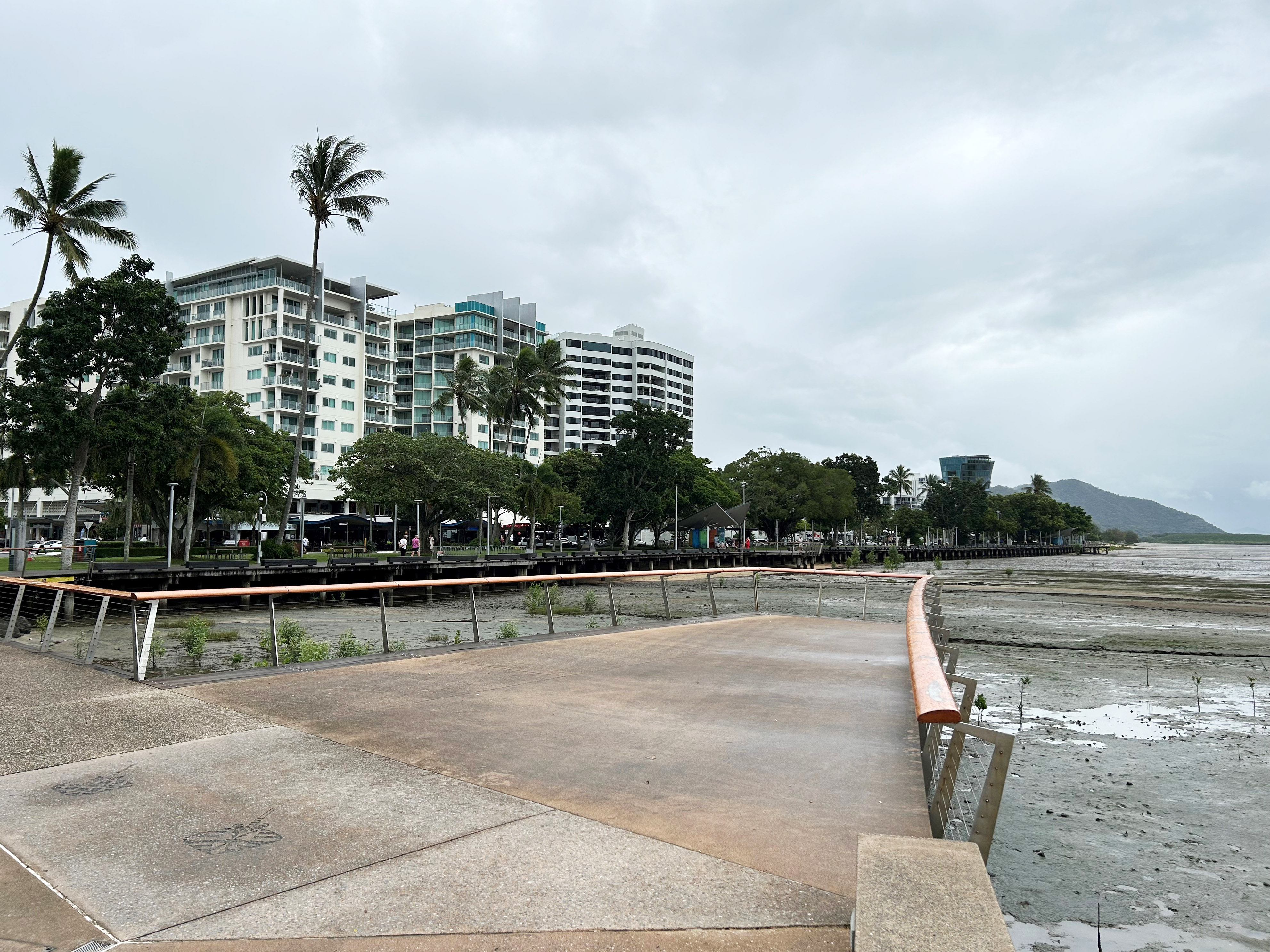
Maintenance works on Esplanade viewing platform
Maintenance works on the western viewing platform on the Cairns Esplanade, behind the Reef Eye Ferris Wheel are scheduled to...
Council reaffirms water security is its top priority
Council has reaffirmed that the Cairns Water Security – Stage 1 project (CWSS1) remains its number one advocacy priority and...